


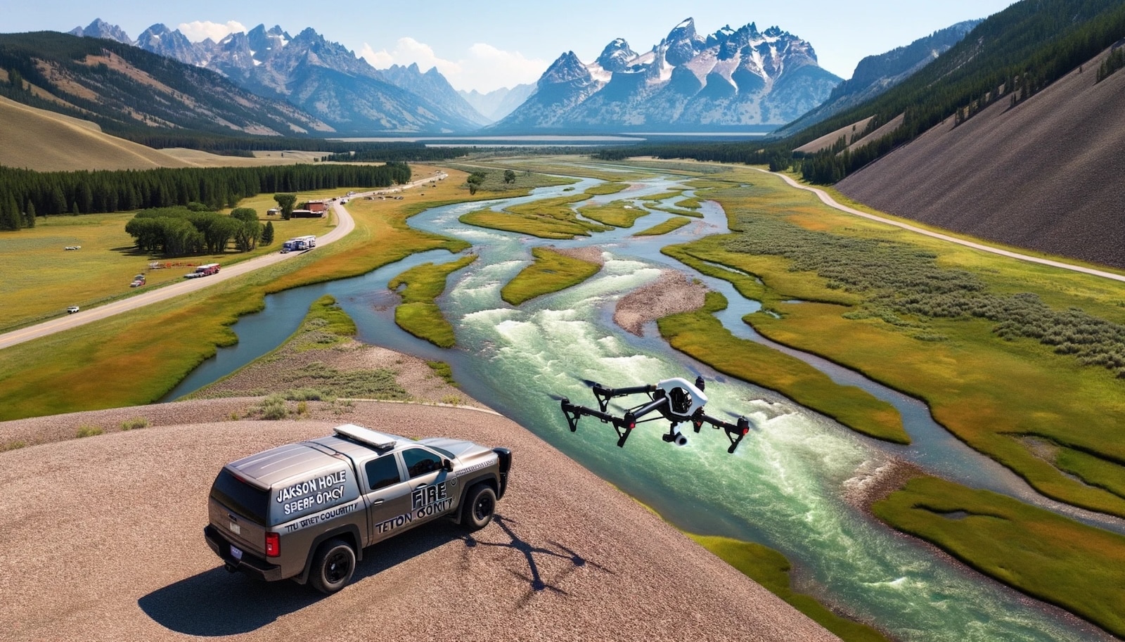
Jackson Hole residents recently witnessed a drone flight over the Snake River on Monday, May 20. This operation, conducted by Jackson Hole Fire/EMS and the Teton County Sheriff’s Office, aimed to assess the levee between Moose and Zenith, near Jackson Hole Airport, in Wyoming.
Why the Drone Flight?
The primary objective was to evaluate potential obstructions in the Snake River and identify maintenance needs for the levee. Teton County Road and Levee, in collaboration with the aforementioned agencies, used Unmanned Aircraft Systems (UAS) to get a closer look at the river’s condition. This initiative helps determine if any mitigation measures are necessary.
Enhanced Assessment Capabilities
Drones offer a significant advantage in surveying areas that are difficult or impossible to access on foot. According to Teton County, drones can capture detailed videos and photos, providing comprehensive data for analysis.
“Without the use of a drone, it would be a lot more difficult and time-consuming for us to gather the information needed to make informed decisions about potential levee mitigation needs,” said Dave Gustafson, Teton County Road and Levee Manager, according to Buckrail.
The UAS Program
Established in 2019, the UAS program in Teton County serves multiple purposes. It’s utilized in emergency and post-emergency scenarios, including hazardous materials incidents, wildland and structure fires, damage assessments, Search and Rescue missions, and more. This program not only aids in current assessments but also helps in training new drone pilots.
“It’s a great opportunity to follow our UAS program procedures and to integrate new UAS pilots into our program,” said Brian Coe, Jackson Hole Fire/EMS Interim Assistant Fire Chief.
The recent drone flight over the Snake River was a proactive step by Teton County to ensure the safety and functionality of the levee system. By utilizing drones, the county can efficiently monitor and address any issues that may arise, ensuring better management of natural resources and infrastructure.
DroneXL’s Take
Using drones for such assessments is a smart move. They provide quick, accurate data from hard-to-reach areas, making it easier to maintain vital infrastructure like levees. This proactive approach not only saves time and resources but also enhances safety for the personnel involved. The integration of new drone pilots into the program ensures the continuity and expansion of these capabilities, reflecting a forward-thinking approach to natural resource management.
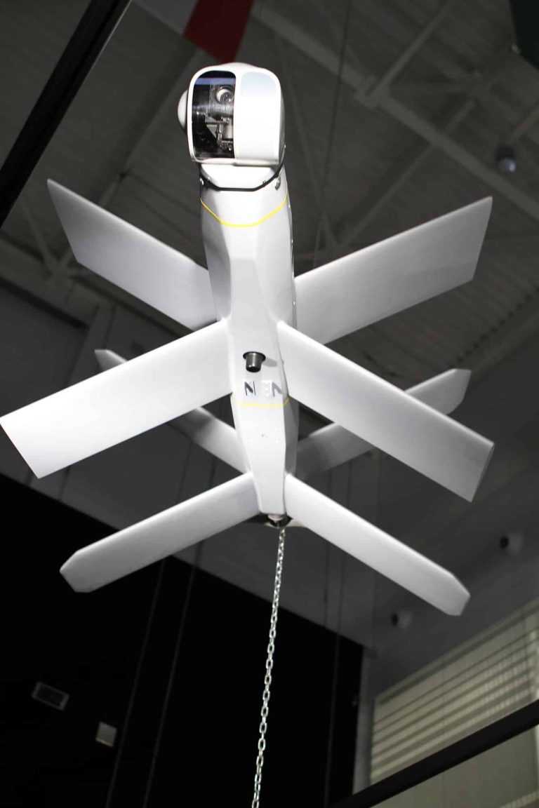
The featured image is for illustration purposes only.
Discover more from DroneXL
Subscribe to get the latest posts to your email.


+ There are no comments
Add yours