


In collaboration with Quantum Systems and Trimble, Phase One has developed a 128-megapixel medium-format camera tailored for survey-grade applications.
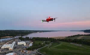
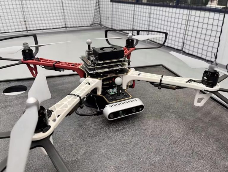
The Phase One P5 Survey Payload, designed for compact drones, weighs less than 700 grams. It features an electronic global shutter capable of capturing up to four frames per second.
The payload’s flexibility in mounting options allows it to be used for both land and corridor surveying, featuring a lightning-fast 1 G interface and the industry-standard MAVLink/Auterion communication protocols.
A Leap in Surveying Accuracy and Efficiency
The Phase One P5 Survey Payload is a groundbreaking development in drone-based surveying. Tailored specifically for UAVs, it is compact, weighing less than 700 grams, and power-efficient, making it an ideal choice for portable mini, fixed-wing, and traditional UAVs.
The payload’s flexibility in mounting options allows it to be used for both land and corridor surveying, featuring a lightning-fast 1 G interface and the industry-standard MAVLink/Auterion communication protocols.
This adaptability makes it easier for UAV original equipment manufacturers (OEMs) to integrate top-tier payloads into their systems.
Unmatched Precision and Performance
At the heart of the P5’s capabilities is its exceptional accuracy, reaching down to 0.5 cm, and a metrically calibrated camera that is free from pixel distortion, ensuring ultra-sharp images.
This accuracy is bolstered by its advanced 128 MP image sensor, achieving an incredibly low Ground Sample Distance (GSD), facilitating faster and more accurate ground point selection, and ensuring less than 1 pixel of distortion.
Furthermore, its electronic global shutter enhances its performance, even in high-speed flight conditions, by maintaining the required image overlap.
Designed for Modern Surveying Needs
The Phase One P5 payload is purpose-built for readily available UAVs, offering a solution that is not only technologically advanced but also user-friendly and suitable for commercially available mini, fixed-wing, and traditional UAVs.
This design philosophy ensures that the P5 can provide end-to-end solutions for modern surveyors, addressing the evolving needs of the field.
Compatibility and Integration
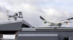
Phase One’s P5 payload is designed to integrate seamlessly with systems such as Quantum Systems’ Trinity Pro and Trimble® Business Center (TBC) software.
The Trinity Pro, a reliable and adaptable mapping solution, incorporates the latest technology like the Quantum-Skynode autopilot and a Linux mission computer, enhancing connectivity and allowing integration with next-generation cameras and AI capabilities.
On the other hand, the TBC software transforms data from various sources, including drones, into actionable information and deliverables for clients, making it a versatile tool for surveyors.
The P5 Survey Payload: A Game-Changer in Aerial Surveying
The introduction of the P5 payload marks a significant advancement in the field of aerial engineering surveying.
Its combination of high accuracy, flexibility, and compatibility with existing systems positions it as a key tool for modern surveying professionals.
By providing detailed, accurate, and efficient surveying capabilities, the P5 payload from Phase One is not just a technological innovation but a practical solution for the ever-evolving demands of aerial surveying.


+ There are no comments
Add yours