


Innovative Skies: Ohio’s New Frontier in Traffic Management
The Ohio Department of Transportation (ODOT) is setting a new precedent in traffic surveillance technology by deploying a large drone to monitor a bustling highway stretch outside Columbus. This pioneering initiative has been green-lit thanks to special permission from federal aviation authorities, marking a significant leap forward in integrating unmanned aerial systems into public service operations.
The Drone Pilot Program: A Closer’s Look
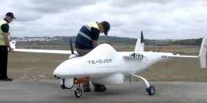
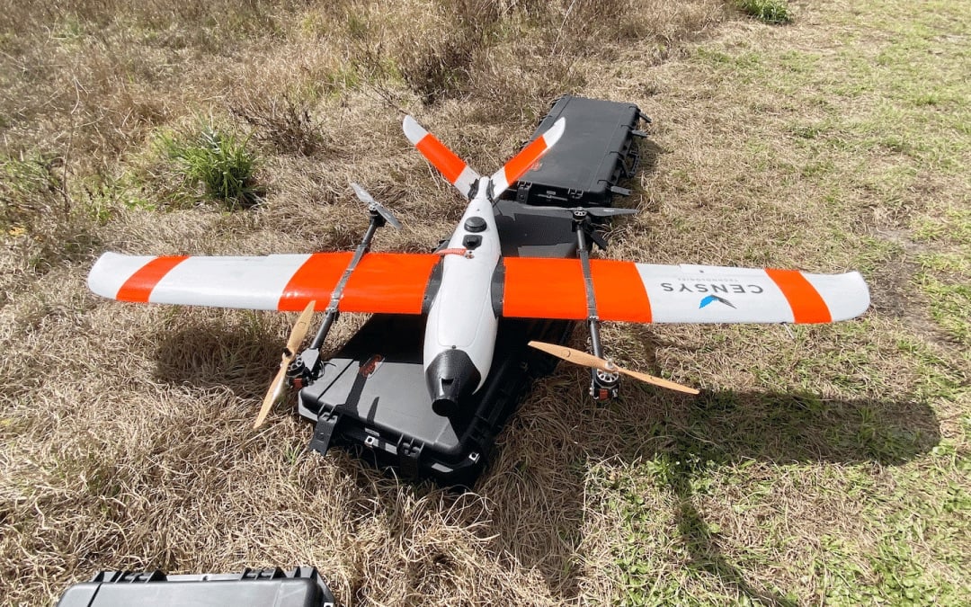
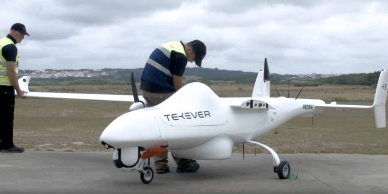
ODOT’s innovative program reportedly involves the use of a 20-pound Censys Sentaero drone, boasting a wingspan of 7.5 feet, to oversee a four-mile segment of U.S. 33 northwest of Columbus. This drone, remarkable for its size and capabilities, is set to enhance the existing network of ground-based traffic cameras by providing a more flexible and responsive surveillance solution.
This corridor, dubbed the “Smart Mobility Corridor,” has been equipped with cutting-edge technology, including fiber-optic cables and road sensors, as part of Ohio’s broader investigation into future automotive technologies. The area not only serves as a vital link between Columbus and Marysville but is also home to significant research and development facilities, including a large Honda factory and the state’s Transportation Research Center.
Beyond Surveillance: A Drone with a Mission
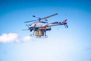
The use of the drone extends beyond mere traffic monitoring. Equipped with sensors to detect other aircraft and the ability to be fitted with additional equipment for emergency scenarios, such as hazmat situations, the drone promises a new level of support for emergency responders. Its deployment can be tailored to address specific incidents, from traffic slowdowns and accidents to Search and Rescue operations, showcasing an unmatched level of versatility and utility.
Looking Ahead: The Future of Drone Surveillance in Ohio
Should this pilot program prove successful, it could herald a new era of drone usage in traffic management, especially in rural areas where traditional surveillance methods may fall short.
Rich Fox, director of ODOT’s Uncrewed Aircraft Systems Center, expressed enthusiasm for the project’s potential, stating, “This is only the beginning. We’re excited to test the potential benefits and leverage this special approval to continue integrating new UAS technology into agency operations.”
As the program takes flight, with a four-year approval window from the Federal Aviation Administration, Ohio stands at the forefront of integrating Drone Technology into everyday governance. This initiative not only showcases the state’s commitment to innovative traffic management solutions but also paves the way for future advancements in uncrewed aircraft systems, promising enhanced safety and efficiency on the roads of Ohio and beyond.


+ There are no comments
Add yours