


With Wildfire seasons getting longer and more destructive in the American West, preventive wildfire prevention is more and more becoming a necessity. In Aurora, Colorado—where over 92,000 properties face some level of wildfire risk—Rocky Mountain UAV Industries is using Drone Technology to help property owners detect and correct fire hazards before it’s too late.
How UAV Inspections Prevent Wildfire Damage
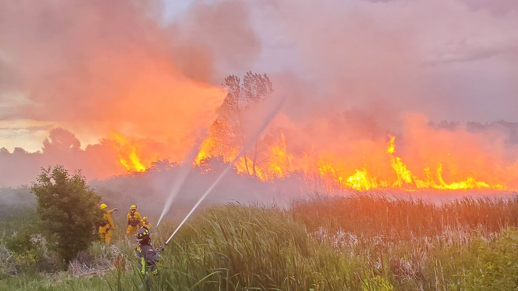
Wildfires may begin and spread suddenly, especially in wildland-urban interface areas like Aurora. Already this spring, there have been numerous blazes to battle at Jewell Wetlands Park, one of which grew to the size of a football field in a few minutes. Those incidents clearly underscore the urgent need for better wildfire preparation.
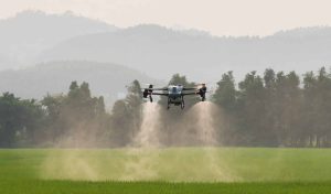
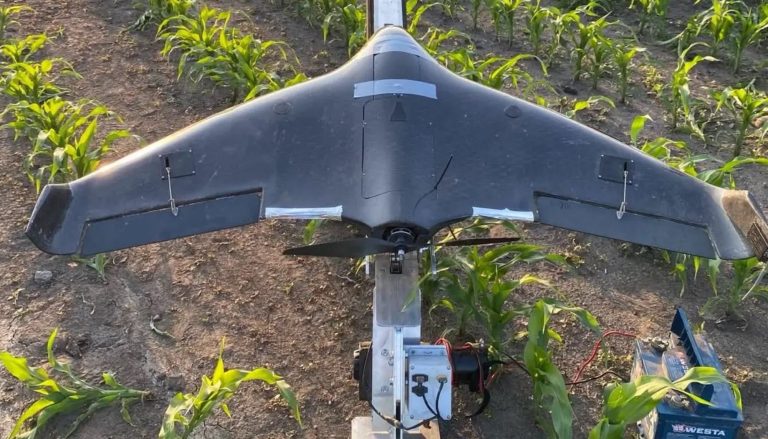
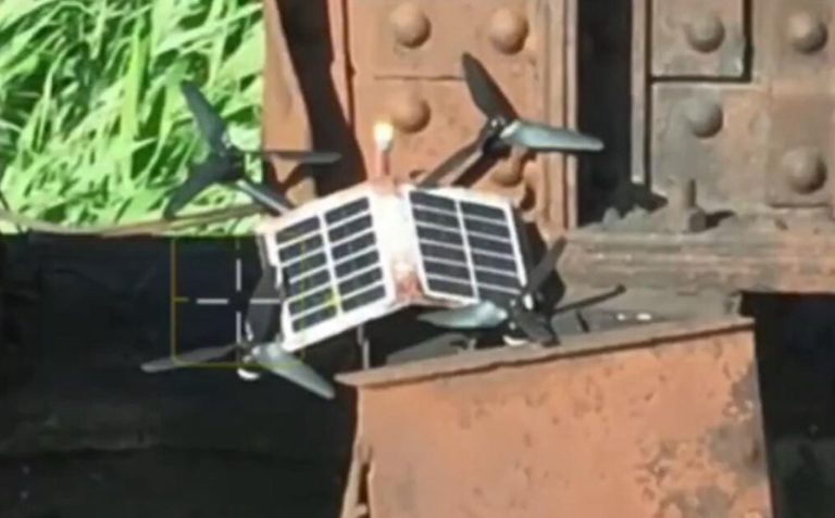
That’s where Rocky Mountain UAV Industries saves the day. The firm uses unmanned aerial vehicles (UAVs) with 4K-resolution cameras to conduct aerial wildfire risk assessments for residential and commercial properties.
The inspections show a detailed bird’s-eye view of the property, identifying key hazards such as:
- Overgrown vegetation and tree canopy overhang
- Ignitable materials in close proximity to buildings
- Blocked or narrowed egress routes
- Deficient space surrounding buildings
A typical flight captures 12 to 18 high-resolution images, spanning 150 feet in all directions around a property. Clients receive a USB drive of their photos, a 15-page U.S. Forest Service wildfire prevention guide, and a personally authored report stating areas of concern and mitigation recommendations.

Trustworthy Expertise in Emergency Response and Public Safety
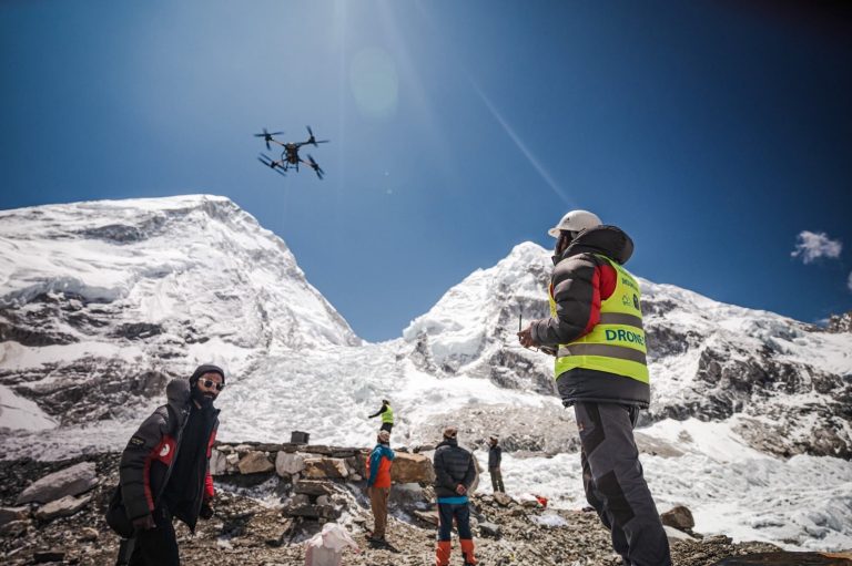
In contrast to the majority of commercial drone providers, Rocky Mountain UAV Industries is led by an industry-qualified emergency response professional. Company owner Mike Curta, an FAA Part 107 Certified UAV Pilot, possesses over 25 years of public safety, EMS, and disaster management experience.
Curta is a certified Department of Homeland Security, FEMA, and National Incident Management System (NIMS) instructor. Curta serves as Emergency Coordinator for Adams and Arapahoe Counties and oversees staff that handles emergency communications, tracking severe weather, and disasters in the Denver metropolitan area.
His understanding of fire behavior and emergency protocols guides the way that Rocky Mountain UAV conducts inspections—so that each survey not only records hazards in photographs, but contextualizes them within real-world response planning.
A Growing Demand for Fire Prevention in Aurora
Colorado averages over 7,000 fires per annum currently, a dramatic increase from a couple of decades ago. Aurora city has seen a number of fire outbreaks this year alone, and with moderate wildfire risk combined with high-density residential development, it is a perfect candidate for aerial fire management operations.
Drone inspections are also becoming essential tools for homeowner insurance coverage. Many residents report policy cancellations due to unresolved threats such as overgrown underbrush or inaccessibility. With detailed records and documentation of forward-thinking steps, UAV inspections can help residents maintain coverage and reduce premiums.
“Wildfire preparedness starts many months before smoke is seen,” Curta says. “Our goal is to get people to act early, not respond late.”
With aerial technology and emergency expertise, Rocky Mountain UAV Industries is giving Coloradoans a brighter, smarter way to fire security—one flight at a time.
Photographs courtesy of Rocky Mountain UAV Industries and Aurora Fire Rescue.
Discover more from DroneXL.co
Subscribe to get the latest posts sent to your email.


+ There are no comments
Add yours