A Missouri State University professor has secured a $300,000 grant to study the integration of pastureland and Black Walnut forests, with drones playing a crucial role in data collection. The project, led by Dr. Michael Goerndt, aims to explore silvopasture systems in Southern Missouri, according to Missouri State University.
High-Tech Drones Meet Traditional Agriculture
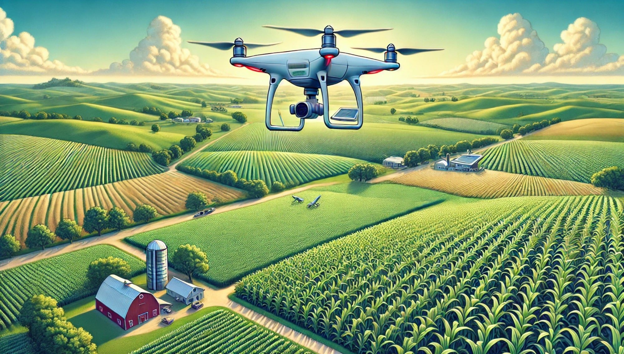
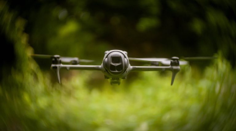
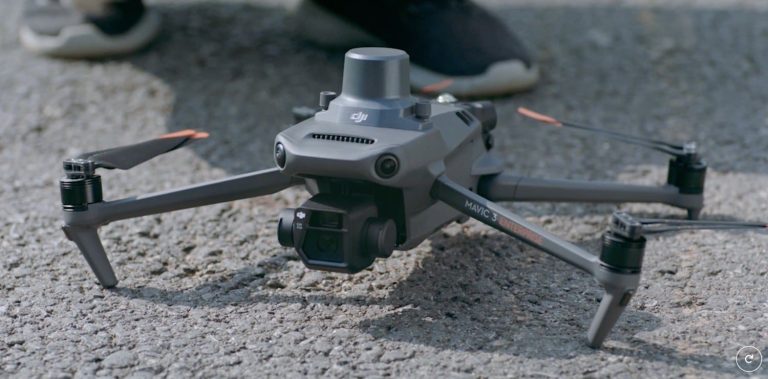
Goerndt’s team will use a mix of traditional and modern methods to gather data. While they’ll be measuring plants and soil the old-fashioned way, they’re also bringing in some serious tech. They’ll be using drones equipped with advanced sensors to create detailed maps showing how trees and grass grow and maintain their health over time.
This blend of old and new is pretty exciting. It’s not every day you see cutting-edge Drone Technology being used to study something as traditional as forestry and grazing land.
What’s Silvopasture, Anyway?
If you’re scratching your head wondering what silvopasture is, you’re not alone. It’s a fancy term for areas that combine trees and grazing land. Southern Missouri’s got a bunch of these areas, and this project’s gonna dive deep into how to set them up and manage them at Missouri State’s Shealy Farm.
The team’s not just looking at how to grow trees and grass together – they’re also crunching the numbers on the economic side of things. They’re particularly interested in Black Walnut trees, and they’re teaming up with the University of Missouri to get all the data they can.
More Than Just Research
This project isn’t just about collecting data – it’s about creating opportunities. Dr. Melissa Bledsoe, dean of the William H. Darr College of Agriculture, puts it best:
“Not only will this project provide beneficial research to our regional producers, but it will also develop an outdoor living lab for our students to use for years to come. This collaboration will provide a valuable and lasting impact to our programs at Missouri State.”
The project’s gonna involve two graduate students, four undergrads, and over 150 more students through field trips and labs. Talk about hands-on learning!
Sharing the Wealth
Goerndt and his team aren’t planning to keep all this great info to themselves. They’re gonna share their findings with landowners and other professionals, helping them learn about and implement silvopasture techniques. It’s all about spreading the knowledge and improving practices across the board.
DroneXL’s Take
This project highlights the growing importance of drone technology in agricultural research and land management. We’ve seen drones revolutionize various sectors, but their application in silvopasture studies is particularly intriguing. The ability to create detailed, time-lapse maps of tree and grass growth using drone-mounted sensors is a game-changer for agricultural research.
This study aligns with the broader trend of using drones for precision agriculture and environmental monitoring. As we’ve reported in our drone technology section, the integration of advanced sensors and AI in drones is opening up new possibilities for data collection and analysis in agriculture.
The use of drones in this project not only demonstrates their versatility but also showcases how they can bridge the gap between traditional agricultural practices and modern technology. It’s exciting to see how drone technology is contributing to sustainable land management practices and potentially influencing the future of agriculture.
What are your thoughts on using drones for agricultural research? Do you think this technology could revolutionize farming practices? Share your opinions in the comments below!
Discover more from DroneXL.co
Subscribe to get the latest posts sent to your email.





+ There are no comments
Add yours