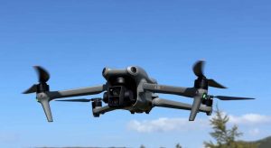
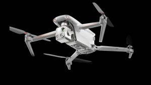


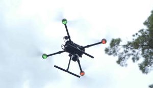
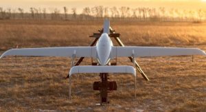
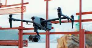
In a groundbreaking development, drones equipped with advanced computer vision software are being deployed to detect and defuse landmines littering the war-torn landscape of Ukraine. The UN and Armed Forces of Ukraine recently invited the team from Safe Pro AI to demonstrate their technology, which successfully located 72 out of 50-100 inert landmines and bombs scattered in a field north of Kyiv.
The Power of AI-Equipped Drones
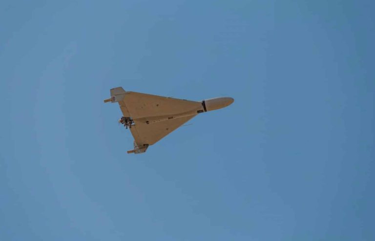
Safe Pro AI, a small group of technicians, recognized the potential of drones to save lives by detecting landmines and unexploded ordnance. Their drones carry patented advanced computer vision software that sweeps the ground for these hazards. After capturing over 15,000 pictures during a training exercise, the deep-learning algorithm correctly identified 72 of the hidden dangers in just 2 hours.
Jasper Baur, co-founder of the project, stated in IEEE Spectrum, “the UN deemed our results impressive enough to invite us back for a second round of demonstrations. All our hard work paid off. Today, our technology is being used by several humanitarian nonprofits detecting land mines in Ukraine, including the Norwegian People’s Aid and the HALO TRUST, which is the world’s largest nonprofit dedicated to clearing explosives left behind after wars.”
A Global Problem
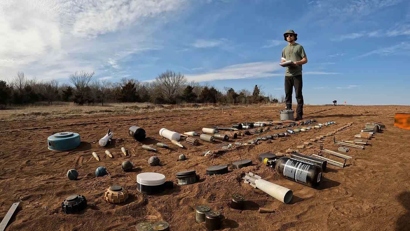
Landmines and leftover shells and bombs contaminate over 50 nations and regions, from Afghanistan and Ukraine to the Falklands and Laos. In 2020, nearly 15,000 acres were cleared of more than 135,000 antipersonnel mines, but thousands are still killed and injured every year by these illegal devices. Despite being banned under a UN treaty signed by over 167 states, most warring nations, including Russia, Ukraine, and the United States, continue to engage in the practice of mining.

The Scale of the Problem in Ukraine
An area the size of Florida is now mined in Ukraine, requiring around 60,000 Drone Photos to cover a square kilometer. With a human taking 3 minutes to check each photograph,
Baur estimates “it would take more than 500 million person-hours to manually search imagery covering all of Ukraine’s suspected contaminated land.”
The Origins of Safe Pro AI
Safe Pro AI’s journey began in 2019 when Baur and his colleagues at Binghamton University’s Geophysics and Remote Sensing Laboratory trained an AI system to detect a single type of Soviet landmine known as a “butterfly mine.” In 2020, Steinberg and Baur founded the Demining Research Community to combat this explosive pandemic through robotics, geophysics, and remote sensing.
Last year, they experimented with adding aerial magnetometry, thermal imaging, and LiDAR to their drones to provide context for any visual images the AI couldn’t confidently identify.
As the world continues to grapple with the deadly legacy of landmines, the work of organizations like Safe Pro AI is crucial in saving lives and restoring safety to communities affected by conflict. By harnessing the power of AI and Drone Technology, these dedicated teams are making significant strides in the fight against this explosive pandemic, offering hope for a future free from the shadow of landmines.
Source: Drones Find Dozens of Landmines Littering Ukraine So They Can Be Defused
Discover more from DroneXL.co
Subscribe to get the latest posts to your email.


+ There are no comments
Add yours