


Drone Mapping Business Halted by Licensing Laws
In a landmark decision, a federal appeals court ruled that a North Carolina drone pilot cannot offer aerial mapping services without a state surveyor’s license. This decision highlights the tension between innovative technology and traditional regulated professions, reports ABC News.
The Court Case
Background
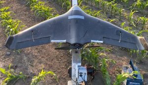
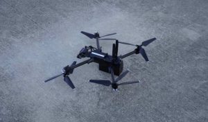
Michael Jones, a drone pilot operating 360 Virtual Drone Services, sought to expand his business by offering aerial mapping services. These services included creating composite images for construction companies, providing bird’s-eye views of land tracts. However, the North Carolina Board of Examiners for Engineers and Surveyors intervened, claiming Jones needed a surveyor’s license to continue offering these services.
Legal Battle
The board began investigating Jones in late 2018, and by June 2019, ordered him to cease mapping, surveying, and photogrammetry activities. Jones complied, adding a disclaimer to his website that his maps were not intended to replace official surveys. Despite his compliance, Jones sued the board in 2021, arguing that the licensing requirement violated his First Amendment rights.
Court’s Decision
The 4th U.S. Circuit Court of Appeals upheld the lower court’s ruling, stating that the requirement for a surveyor’s license was a regulation of conduct, not speech. Circuit Judge Jim Wynn emphasized the importance of relying on professionally trained surveyors for accurate mapping, asserting that the licensing process protects consumers from potential economic and Legal issues arising from incorrect land measurements.
Key Points from the Ruling
Protection of Public Interest
Judge Wynn noted that the rigorous process to become a licensed surveyor ensures that individuals are adequately trained, which is crucial for public safety and reliability in land measurements.
Free Speech Argument
Despite Jones’ argument that taking photos and providing information is protected speech, the court found that the licensing law primarily regulates professional conduct, not speech. The court maintained that the state’s interest in ensuring accurate surveying services justified the licensing requirement.
Future Implications for Drone Pilots
Jones’ attorney, Sam Gedge from the Institute for Justice, expressed plans to further appeal the case.
Gedge criticized the ruling, stating, “The state can criminalize sharing certain types of photos without a government-issued license. And it does so on the theory that such a law somehow does not regulate ‘speech.’ That reasoning is badly flawed.”
DroneXL’s Take
This ruling underscores a significant challenge for drone pilots looking to expand their services into areas traditionally regulated by state licensing. While the court’s decision aims to protect consumers and ensure accuracy in land surveying, it also raises questions about the balance between innovation and regulation. For drone enthusiasts and professionals, this case highlights the importance of navigating legal requirements carefully when venturing into new business territories. As technology continues to evolve, it will be crucial for regulatory frameworks to adapt in a way that both encourages innovation and maintains public TRUST and safety.
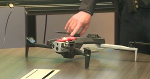
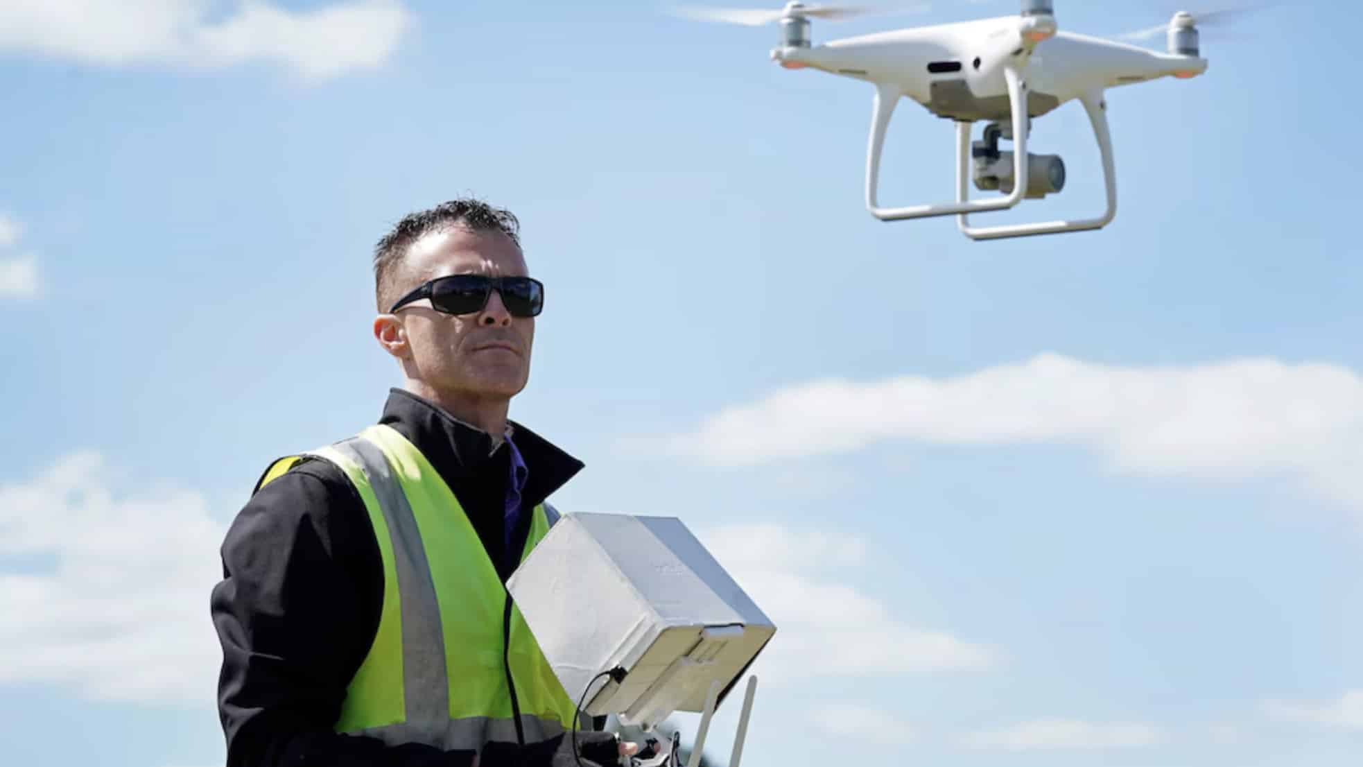
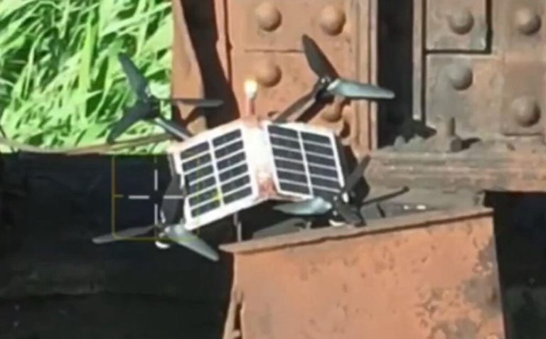
Photo courtesy of ABC News.
Discover more from DroneXL
Subscribe to get the latest posts to your email.


+ There are no comments
Add yours