Category: Drone Mapping
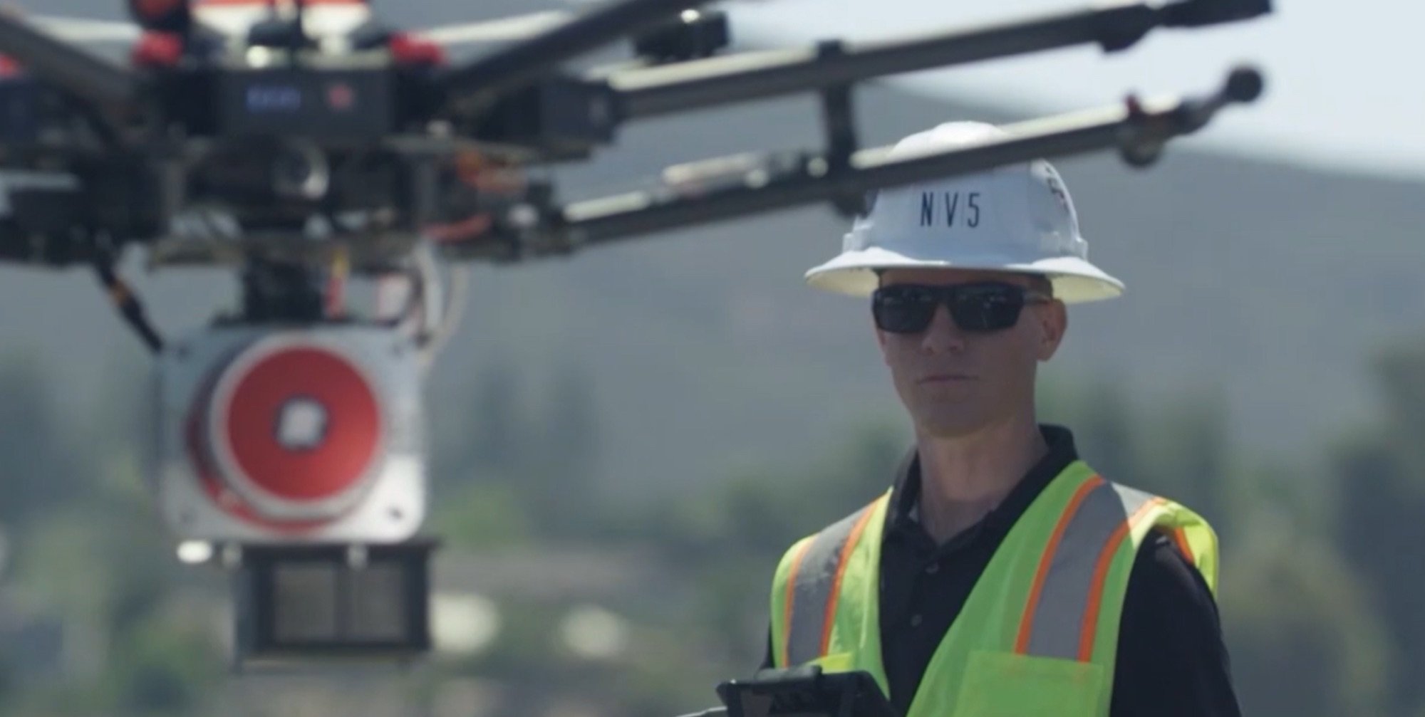
NV5 Secures $10M Drone Mapping Contract to Boost North Carolina Infrastructure
NV5, a leader in tech-enabled engineering solutions, has landed a two-year, $10 million contract with the North Carolina Department of Transportation (NCDOT) to deliver advanced [more…]
AUVSI’s Fight Against AB 1160: Fearmongering Masquerading as Patriotism
The Association for Uncrewed Vehicle Systems International (AUVSI) has launched a fierce attack on California‘s Assembly Bill 1160 (AB 1160), claiming it threatens national security [more…]
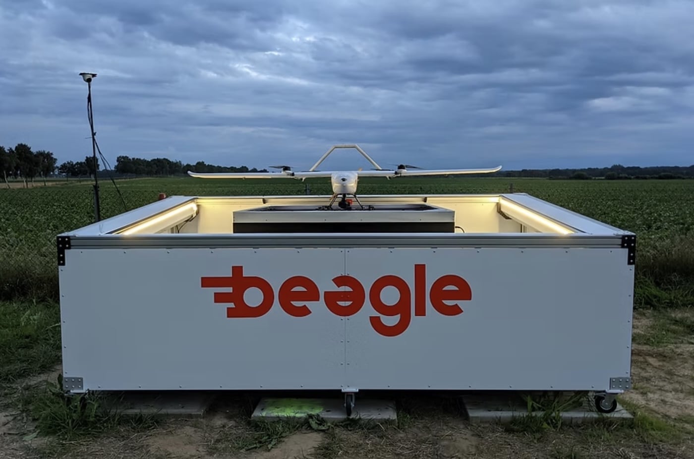
Beagle’s Long-Range Drones Secure €5M for Critical Infrastructure Monitoring
Hamburg-based Beagle has secured €5 million ($5.4 million) in seed funding to expand its long-range drone monitoring operations for critical energy infrastructure, according to co-founder [more…]
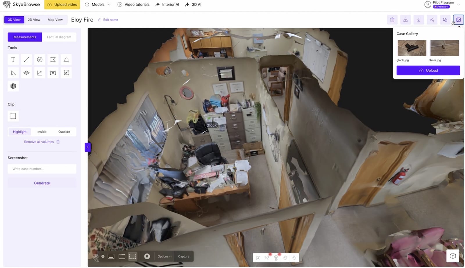
SkyeBrowse Unveils AI-Powered Updates to Revolutionize Drone Reality Capture
SkyeBrowse, a leading drone reality capture platform, has rolled out three significant updates that leverage Artificial Intelligence to simplify and enhance 3D modeling, as announced [more…]
Wingcopter LiDAR, Man Accused of Breaking TFR, Pelican 2, Skyebrowse Interior Update
Welcome to Weekly UAS News Update! We have five stories for you this week. As we hit our 300th week, we’ll cover Wingcopter‘s new LiDAR [more…]
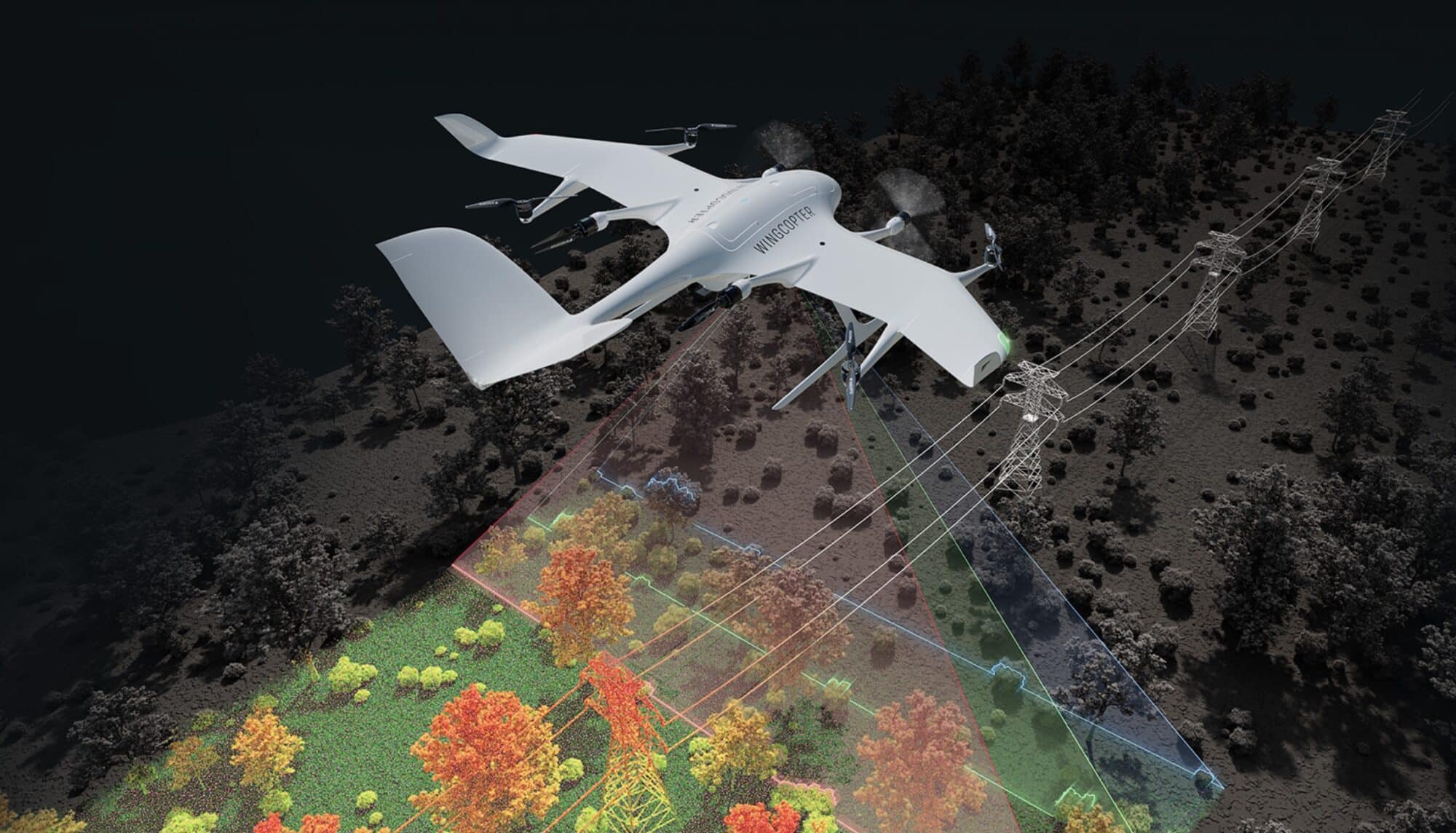
Wingcopter’s New LiDAR Drone Can Survey 37 Miles in One Flight
Wingcopter, the German drone manufacturer behind the FAA certification-pending Wingcopter 198, announced its expansion into long-range LiDAR surveying solutions at Geo Week 2025 in Denver, [more…]
Pilot Institute Launches Premium Drone Community
It’s time to introduce something new and exciting. I’m proud to announce the launch of the Premium Drone Community. Pilot Institute offers many great courses: [more…]
SkyeBrowse Launches 360 Interior Mapping and Enhances DJI Avata 3D Modeling
SkyeBrowse, a leading Drone Mapping software company, has unveiled a suite of new features aimed at revolutionizing interior mapping capabilities. In a recent announcement, the [more…]
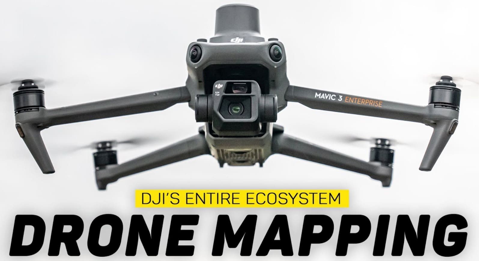
DJI’s Comprehensive Drone Mapping Solution: From Flight Planning to 3D Models
According to a recent YouTube video by Billy Kyle, DJI has streamlined the Drone Mapping process, offering a complete ecosystem for aerial surveying and 3D [more…]
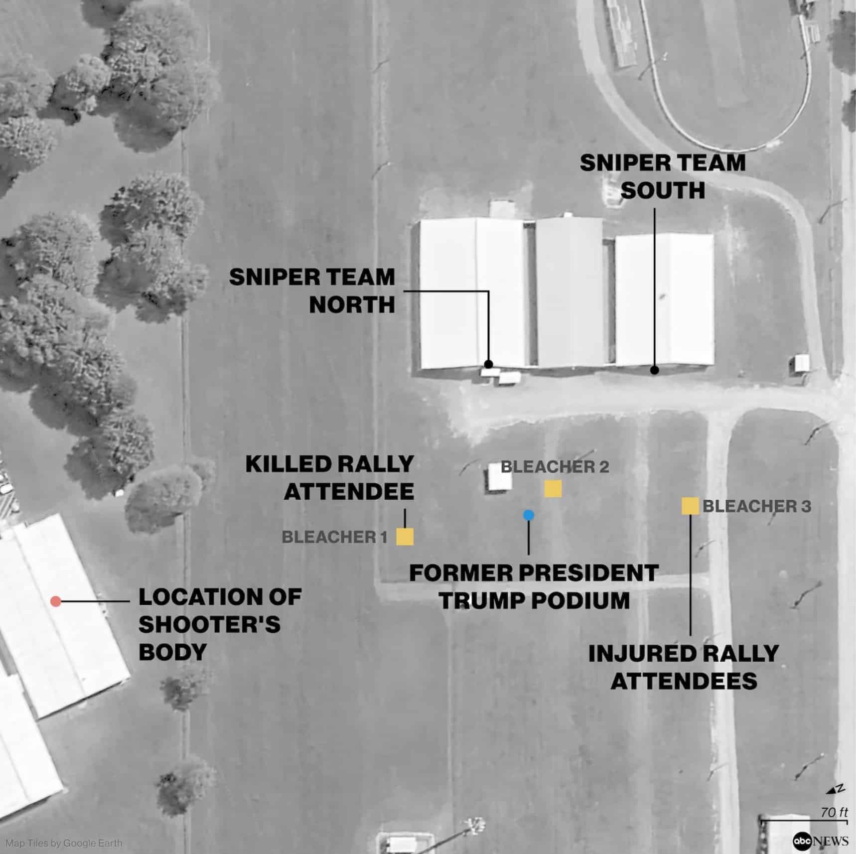
How DJI Drone Reconnaissance Aided Trump Assassination Attempt
The use of a DJI drone for pre-attack surveillance is likely to have significantly enhanced Thomas Crooks’ ability to plan his assassination attempt on former [more…]
