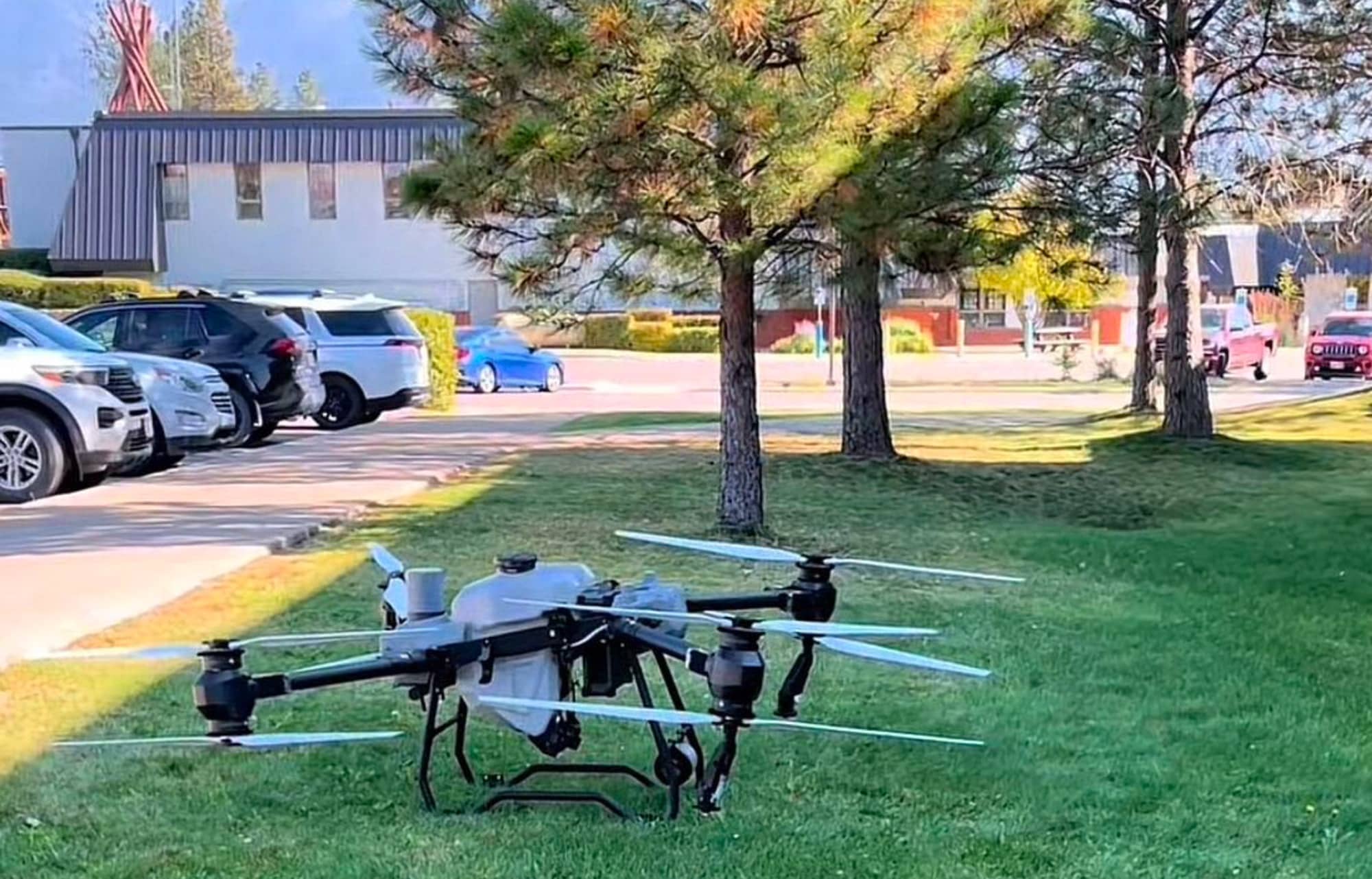
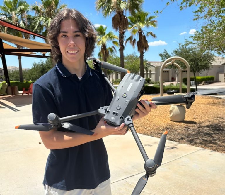
The Tribal Lands Department recently showcased its latest tool in environmental management: a large, powerful agricultural DJI drone. This new addition to their arsenal was reportedly unveiled at a demonstration following the department’s quarterly meeting on October 4, drawing attention from a curious crowd.
A Drone with a Mission
Bradley McCrea from the Tribal Lands Department took center stage, demonstrating the drone’s capabilities and fielding questions about its applications. The audience was taken aback by the drone’s impressive size and power, a testament to its intended purpose of managing invasive plants and restoring habitats affected by wildfires.
This isn’t just any off-the-shelf drone. It’s a specialized agricultural model manufactured by DJI, a leading name in Drone Technology. The battery-powered aircraft boasts both manual and automatic operation modes, offering flexibility in various scenarios.
“DJI drones offer powerful equipment that provides intelligent solutions that save time and increase workflow, benefiting a wide range of customers from farmers and growers to agricultural cooperation and service agencies,” according to DJI’s agricultural division.
Multifaceted Applications
The drone’s versatility is impressive. It’s equipped to handle a variety of tasks crucial to land management:
- Surveying and mapping tribal lands
- Seeding areas impacted by wildfires
- Identifying and monitoring invasive plant species
- Spraying treatments for invasive plants
This aerial approach offers a safer, more efficient method of managing large swaths of land compared to traditional ground-based techniques.
Skilled Operators at the Helm
Operating such a sophisticated piece of equipment requires special training. Two employees at the Tribal Lands Department, including McCrea, have stepped up to the plate. They’ve undergone the necessary training to become certified remote pilots, ensuring the drone is in capable hands.
To fly under the FAA’s Small UAS Rule (Part 107), operators must obtain a Remote Pilot Certificate. This certification demonstrates a thorough understanding of regulations, operating requirements, and safety procedures. It’s not a one-and-done deal either – certificate holders must complete online recurrent training every 24 months to stay current.
DroneXL’s Take
The Tribal Lands Department’s adoption of this advanced drone technology aligns with a broader trend we’re seeing in environmental management and agriculture. As we’ve reported in our drone technology section, the use of drones for precision agriculture and environmental monitoring is on the rise.
This application showcases how drone technology can be a force for good, helping to preserve and restore natural habitats while promoting efficiency in land management. It’s a prime example of how indigenous communities are embracing cutting-edge tools to support their stewardship of the land.
What are your thoughts on using drones for environmental management? We’d love to hear your perspective in the comments below.
Photo courtesy of Marianne Addison / Charkoosta
Discover more from DroneXL.co
Subscribe to get the latest posts sent to your email.









+ There are no comments
Add yours