


Cutting-Edge Tech at Boulder Creek
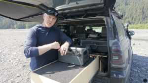
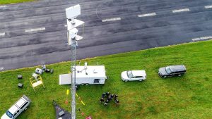
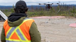
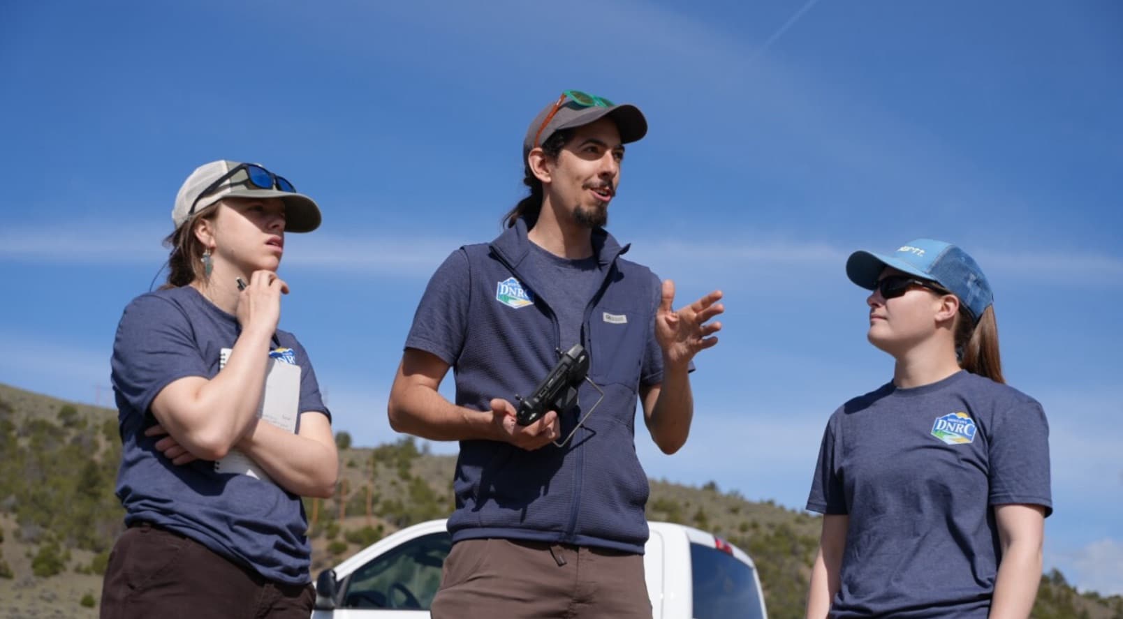
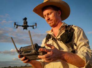
The Montana Department of Natural Resources and Conservation (DNRC) is making waves with its latest tech adoption at Boulder Creek. On Wednesday, the DNRC team, led by hydrologist David Saba, utilized drones equipped with LiDAR technology to capture detailed imagery and data, covering nearly 200 acres and a mile of the creek. This new approach promises a more accurate understanding of water flow, crucial for better water resource management, reports KTVH.
Seeing Through the Trees with Lidar
One of the standout benefits of Lidar over traditional photogrammetry is its ability to penetrate vegetation.
“The advantage of using lidar versus photogrammetry is the lidar unit can see through vegetation. And so being water resources and working around streams there’s lots of trees and vegetation around streams,” explains Saba.
This technology uses a laser bouncing between the drone and the earth, creating detailed topographical maps even in dense, vegetated areas.

From Imagery to Insight
By leveraging these detailed models, the DNRC can more accurately answer critical questions about water flow.
“And then by doing this by creating these models we will better be able to answer that question of how much water is actually flowing at any given day, any given hour,” Saba adds.
This data is pivotal for effective water management and policy-making.
A Proven Success
This isn’t the DNRC’s first foray into Lidar technology. They initially used Lidar drones in September of last year, and the results were so impressive that reverting to old methods was out of the question. Boulder Creek is just one of the many sites the DNRC plans to map, utilizing both gauging stations for water height and Lidar for additional, precise data.

Enhancing Water Management
Understanding water availability in Montana is vital.
“Water is a precious resource in Montana, and by better understanding how much is available at any given time, and under better predicting how much will be available any given year, we can make better decisions on how to use water,” Saba highlights.
The comprehensive data collected helps the DNRC manage water rights more effectively and develop informed policies.
Challenges and Future Prospects
Despite the benefits, the DNRC still relies on GPS surveying equipment for manual depth assessments due to the high costs of drones with advanced Lidar technology. However, the strides made in understanding water flow using current technology mark a significant advancement for the DNRC.
By adopting drones and Lidar, the Montana DNRC is stepping into a future where water resources can be managed with unprecedented accuracy and insight. This technological leap is set to transform how water data is collected and utilized, ensuring better resource management for years to come.
Photos courtesy of Tom Buchanan.
Discover more from DroneXL
Subscribe to get the latest posts to your email.


+ There are no comments
Add yours