


Revolutionizing Rail Network Monitoring with Drones
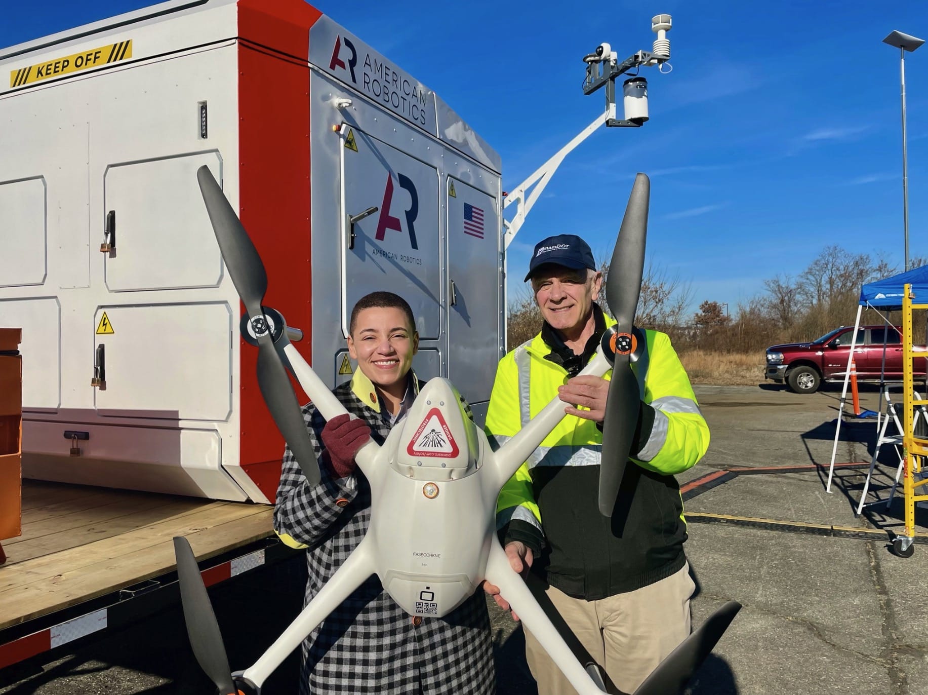
The Massachusetts Department of Transportation (MassDOT) Aeronautics Division has taken a significant leap in rail network monitoring and safety. With a groundbreaking waiver from the Federal Aviation Administration (FAA), MassDOT can now deploy drones beyond the visual line of sight (BVLOS) across the state’s entire rail network.
This waiver marks a pivotal shift in how rail safety and infrastructure are managed, leveraging the power of uncrewed aircraft to oversee more than 1,000 miles of rail track with unprecedented efficiency.
Enhanced Safety and Data Collection
MassDOT’s Drone Operations Program will now collect detailed data across the Massachusetts Bay Transportation Authority (MBTA) rail corridors and beyond, focusing on detecting issues like vegetation encroachment, flooding, or storm damage.
This advanced monitoring capability significantly bolsters rail safety, ensuring timely responses to potential hazards. The new waiver expands upon a previous narrower permission from the FAA, demonstrating MassDOT’s commitment to embracing innovative technologies for state infrastructure management.

Collaborative Efforts and Technological Advancements
Monica Tibbits-Nutt, Transportation Secretary and CEO, emphasized the importance of collaboration with federal partners in adopting the BVLOS drone waiver, highlighting safety as a paramount concern for MassDOT and the MBTA.
MassDOT Aeronautics Administrator Jeff DeCarlo views this advancement as a model for other states, expanding the scope of infrastructure inspection services while exploring new operational improvements, from airspace monitoring to emergency medical responses.
“Our latest BVLOS waiver not only marks a quantum leap for infrastructure inspection services in Massachusetts but provides a model for all states to inspect a variety of infrastructure more rapidly, accurately, and comprehensively,” said MassDOT Aeronautics Administrator Jeff DeCarlo. “This waiver also allows us to explore critical new ways to improve the state’s operations, from airspace monitoring to medical emergency response.”
Drones: A Game-Changer in Rail Data Analysis
MBTA General Manager Phillip Eng lauded the long-standing collaboration with MassDOT’s drone program, recognizing the waiver as a transformative step for rail data collection and analysis. Meredith Slesinger, MassDOT Rail & Transit Administrator, further noted the acceleration of infrastructure data collection, traditionally a slow and labor-intensive process.
This technological leap allows for rapid and enhanced analysis of critical safety factors, including erosion and storm damage, especially in hard-to-reach rail corridors.

Flexible Approach and Statewide Impact
The “blended” performance-based approach adopted by MassDOT Aeronautics offers operational flexibility, adapting to varying geographic and urban densities. This strategy allows for efficient mission accomplishment across diverse landscapes.
High-altitude drone flights will be assisted by visual observers, while lower-altitude operations benefit from an “obstruction shielding” waiver, eliminating the need for observers in certain scenarios.
Pioneering the Future of Transportation
The Commonwealth UAS Integration Program (CUIP) at MassDOT, in collaboration with local organizations like MITRE and MIT Lincoln Laboratory, spearheads the development of this state-wide BVLOS rail initiative.
Dr. Scott Uebelhart, Chief Scientist of MassDOT’s Aeronautics Advanced Aviation Technologies Group, envisions this waiver laying the foundation for integrating drones and future Advanced Air Mobility vehicles into aerial transportation networks.
Robin Grace, Chief of UAS/Drone Operations for MassDOT Aeronautics, highlighted the program’s success in flying over 500 miles of the MBTA’s Commuter Rail track, gathering crucial data to support the Rail and Transit Division.
“We’ve flown more than 500 miles over the MBTA’s Commuter Rail track and also collected data over freight track across the state to support MassDOT’s Rail and Transit Division,” said Robin Grace, Chief of UAS/Drone Operations for MassDOT Aeronautics. “By reducing the number of circumstances requiring visual observers, the waiver could substantially reduce the time the team needs to map the rail network, providing valuable insight that complements the routine physical inspection conducted by rail personnel multiple times per week.”
This waiver paves the way for more efficient mapping of the rail network, supplementing the routine physical inspections and enhancing the overall safety and operational efficacy of Massachusetts’ rail system.
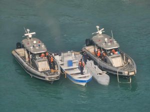
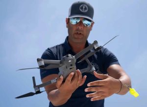
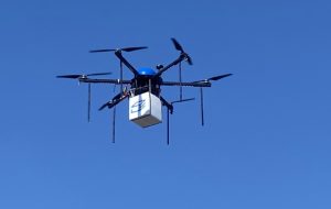
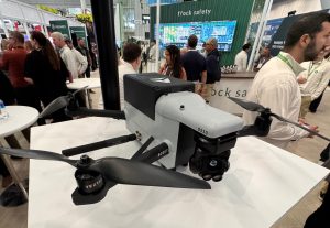
Photos courtesy of MassDOT.


+ There are no comments
Add yours