


Indiana University of Pennsylvania Leverages Hybrid Drone for Advanced Geospatial Studies
In a groundbreaking move, Indiana University of Pennsylvania (IUP) has positioned itself at the forefront of Drone Research and Education. Recognized by the Federal Aviation Administration (FAA) as a premier FAA Collegiate Training Institution, IUP is now utilizing advanced Drone Technology to expand its Geospatial Intelligence and Unmanned Aircraft Systems Certificate Programs, marking a significant leap in its research capabilities, reports The Courier Express.
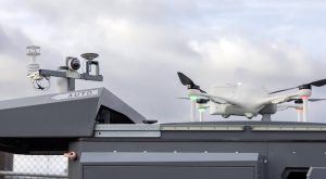
The WingtraOne Gen II: A Hybrid Approach to Aerial Innovation
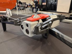
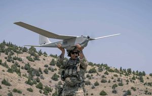
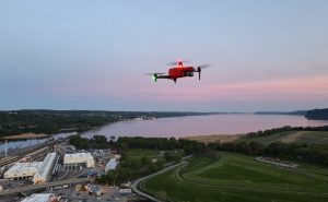
Thanks to the federal Build Back Better Regional Challenge grant, IUP has acquired the WingtraOne Gen II, a state-of-the-art hybrid drone. This innovative aircraft combines the vertical takeoff and landing (VTOL) capabilities of traditional drones with the long-distance, high-altitude flight abilities of fixed-wing aircraft. This dual functionality allows the WingtraOne to operate in compact spaces and cover extensive areas from higher altitudes, a feature that distinguishes it from its contemporaries.
A New Horizon in Drone Technology
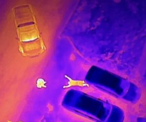
Dr. John Benhart, a leading figure in IUP’s Drone Education and research initiatives, highlights the WingtraOne’s unique ability to transition from a vertical lift-off to a fixed-wing flight mode. This capability not only conserves battery power but also enables the drone to cover larger land areas and gather high-resolution imagery with high accuracy location positioning. Such efficiency and precision in data collection stand to revolutionize various research projects, eliminating the need for extensive ground control in hard-to-reach areas.
Empowering Research and Education Through Advanced Technology
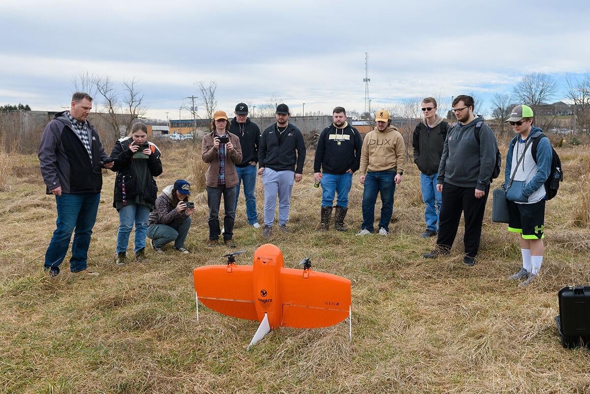
The introduction of the WingtraOne into IUP’s curriculum opens up a myriad of opportunities for both student and faculty research. Projects focusing on 2-D and 3-D mapping, coastal development patterns post-hurricane, land cover, animal population dynamics, and the distribution of invasive plant species are already underway, leveraging the drone’s advanced sensing and high-accuracy GPS positioning capabilities. This technology enables the exploration of rugged terrains, densely vegetated areas, and other challenging environments, significantly enhancing the scope and quality of geospatial research conducted by the university.
A Leap Towards Future-Ready Research
IUP’s acquisition of the WingtraOne Gen II drone not only underscores its commitment to embracing cutting-edge technology but also enhances its standing as a leader in geospatial intelligence and unmanned aircraft systems education. As the only university in Pennsylvania recognized by the FAA in this capacity, IUP is setting a high standard for academic institutions nationwide, promising a future where advanced drone technology plays a pivotal role in environmental and geographical research.
This strategic investment in hybrid drone technology is a testament to IUP’s dedication to providing its students and faculty with the tools necessary to conduct high-impact research, paving the way for innovative solutions to some of the most pressing environmental challenges.
Photo courtesy of The Courier Express.


+ There are no comments
Add yours