


In a groundbreaking study, University of Wisconsin-Stevens Point graduate student Amanda Griswold has harnessed Drone Technology to redefine how scientists monitor waterfowl populations, offering a less invasive, more precise tool for preserving Wisconsin’s vital wetland ecosystems. Her research, supported by the Wisconsin Department of Natural Resources (DNR) and conservation groups, reveals drones’ potential to transform Wildlife management.
Soaring Above Traditional Surveys
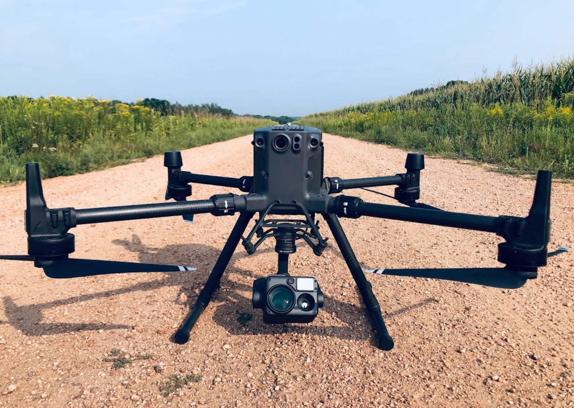
Griswold’s two-year project deployed drones equipped with high-resolution thermal imaging to survey breeding waterfowl across Wisconsin’s diverse wetlands. Unlike conventional methods—ground surveys on foot or boat, or aerial counts from planes and helicopters—drones detected hundreds of broods and breeding pairs hidden in dense vegetation.
“With the thermal cameras, we’re able to count birds a lot easier than you could on the ground or from the sky,” Griswold told Wisconsin Public Radio.
The technology’s ability to spot heat signatures through foliage improved population estimates, critical for the Wisconsin Waterfowl Habitat Conservation Strategy, which prioritizes watersheds for restoration.
Minimizing Disruption, Maximizing Efficiency
Traditional surveys often disturb wildlife, with boat motors or footsteps prompting birds to flee. Drones, flying at altitudes up to 400 feet, minimize such impacts. “Just the sound of people walking through the grass or around in a boat can cause birds to act unnaturally or to flush and swim away,” Griswold explained. Drones’ quieter, distant operation allowed natural behaviors to persist, yielding truer data. Economically, while drones’ initial costs (around $5,000–$15,000) rival traditional methods, they save time and reduce long-term expenses like fuel and labor for aircraft or boats.

Overcoming Technical Hurdles
The study faced challenges, notably drone battery life limited to 45 minutes, requiring field generators for recharging during extended surveys. Wisconsin’s tree-heavy landscapes also posed obstacles, as federal regulations mandate keeping drones in sight. Trees disrupted signals, complicating navigation in forested wetlands. “It’s definitely easier to use these drones in a more open habitat,” Griswold noted. Despite these hurdles, the project’s success—completed in February 2025—marks a milestone in applying uncrewed aerial systems to conservation.
A Global Ripple Effect
Griswold’s findings resonate beyond Wisconsin. Drone surveys are already tracking elephants in Africa, deer in the U.S., and marine mammals globally. Her work suggests drones could replace ground observers in DNR’s annual spring surveys, enhancing efficiency and accuracy. By integrating drones into multi-method approaches, agencies could refine population models and allocate conservation resources more effectively, safeguarding habitats amid climate and land-use changes.
DroneXL’s Take
Griswold’s research is a beacon for drone professionals and conservationists alike. It’s not just about counting ducks—it’s about rewriting the playbook for wildlife monitoring with tools that respect nature’s rhythm. The blend of thermal imaging and high-altitude flight offers a glimpse into a future where technology and ecology dance in sync. Yet, as Griswold’s battery woes highlight, the industry must innovate longer-lasting power solutions to unlock drones’ full potential. For recreational pilots, this study is a call to fly with purpose, supporting science that preserves the landscapes we soar over. With wit and wings, drones are proving they’re more than gadgets—they’re guardians of our natural world.
Discover more from DroneXL.co
Subscribe to get the latest posts sent to your email.


+ There are no comments
Add yours