Penn State Study Uses Drones to Reveal Geological Secrets
The long-standing query of how water shapes mountainous terrain over geological periods has recently gained new light thanks to a ground-breaking study by Penn State scientists using drones and published in Science Advances.
The research team used Drone Technology in central Taiwan to uncover a significant connection between river boulders and river steepness, highlighting the intricate relationship between underground tectonic processes and surface landscape transformations.
Research Focus: Mountain Evolution and Erosion Dynamics
The study’s primary focus was on understanding the differences in river incision into bedrock in various stages of mountain development. Lead author Julia Carr, a 2022 Ph.D. graduate in Geosciences from Penn State, noted that the erosion process changes as a mountain belt evolves.
The research centered on the uplift process, where tectonic plate collisions elevate buried rocks to the surface, leading to variations in rock properties that influence erosion when exposed to surface elements.
Key Findings: Boulder Size and River Steepness
In Taiwan, the research team found that the size of river boulders served as a primary indicator of rock strength in the mountains. Larger, stronger boulders were associated with rocks that had been buried deeper in the Earth’s crust.
Co-author Roman DiBiase, an associate professor of Geosciences at Penn State, explained that rivers need to steepen to erode at the same rate when channel boulders are larger.

Overcoming Challenges in Erosion Modeling
This study brings to light the complexities of factoring rock strength into erosion models. DiBiase emphasized the importance of understanding river incision into rock for comprehending how mountain ranges develop over geologic time. The findings offer crucial insights into the controls on river erosion and mountain range evolution.
Comprehensive Data Collection Using Drones
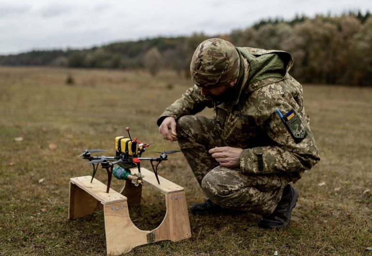
The researchers employed drones to navigate the challenging terrain of Taiwan’s central mountain range and collect extensive data on river morphology and boulder sizes.
Carr highlighted the uniqueness of this comprehensive survey approach, which reveals patterns that traditional field surveys might overlook.
Taiwan: The Ideal Study Location
Taiwan’s central mountain range, one of the Earth’s steepest and most erosion-prone landscapes, provided the perfect setting for this study.
The systematic burial depth patterns in this region, a result of millions of years of tectonic activity, have been instrumental in exploring the connection between a rock’s subsurface history and its surface properties.
Broader Implications of the Study
Carr explained that the study’s findings imply a primary rock strength signal, controlling boulder size, sets river incision in the landscape, which correlates with the local steepness of rivers.
This study not only enhances our understanding of mountain evolution but also has broader applications in developing erosion models for other mountain ranges, enriching our grasp of Earth’s ever-changing landscape.
Image courtesy of Science Advances











+ There are no comments
Add yours