


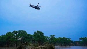

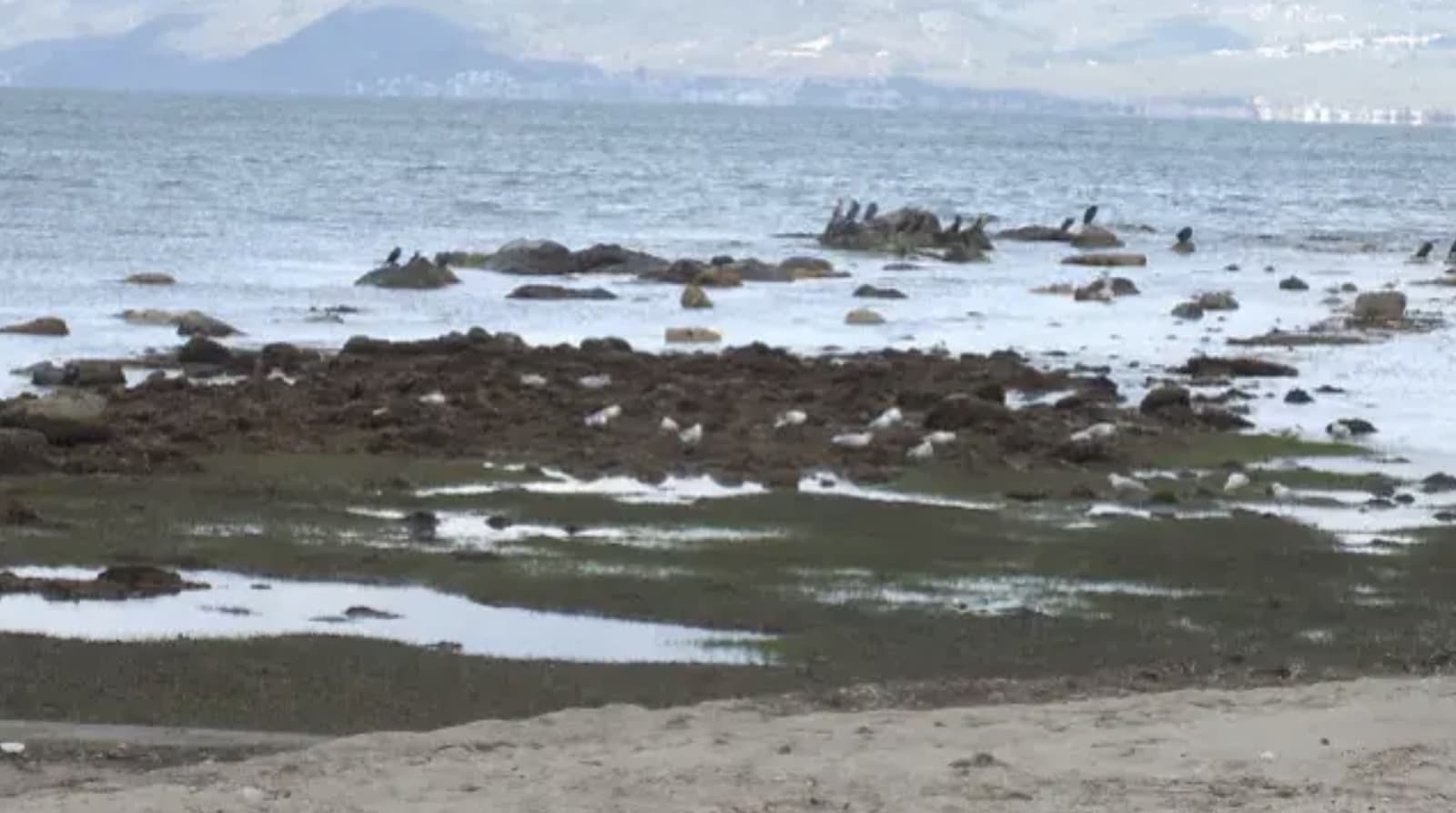
Aerial drone footage has documented a remarkable archaeological discovery in Turkey‘s Ayvalık district, where the ruins of the ancient port of Adramytteion have emerged following an unprecedented recession of the Aegean Sea, reports Haberler. The sea’s mysterious retreat of approximately 130 feet (40 meters) from its usual shoreline in Balıkesir province has created a unique opportunity for aerial documentation of this historical site.
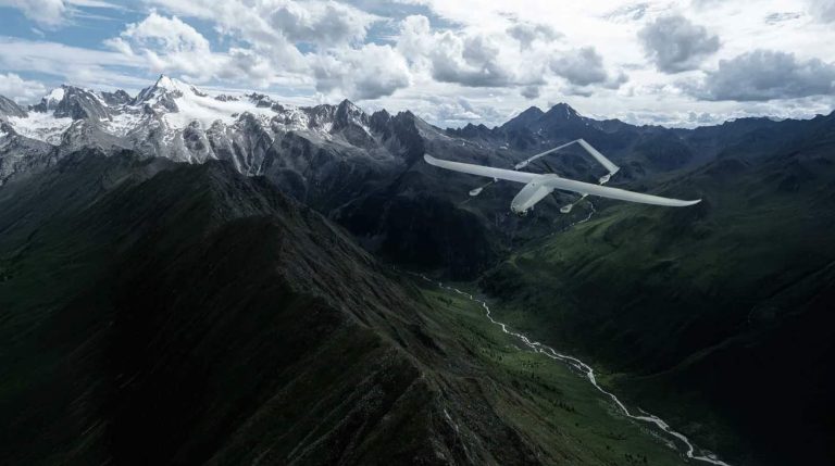
Through the distinctive vantage point provided by drone photography, researchers have captured comprehensive aerial views of the harbor remains, which date back to the 4th century BCE. The drone footage, reported by CNN Türk, reveals not only the exposed port structures but also newly formed small islets along the coastline, offering a birds-eye perspective of this rare phenomenon.
While citizens on Ören beach and residents of the Iskele area in Burhaniye have been documenting the ancient port with their mobile phones from ground level, the drone footage provides crucial aerial documentation that would be impossible to achieve through conventional photography methods. This aerial perspective allows for a complete view of the site’s layout and the full extent of the sea’s recession.
Local resident Müslüm Yıkılkan, who has been photographing the ruins from ground level, stated, “When I saw the port ruins, I started taking photos.” The combination of ground-level documentation and aerial drone footage is creating a comprehensive record of this unusual event.

The unprecedented nature of the sea’s recession has alarmed longtime residents. Local carpenter Hamdi Mengi, born and raised in Burhaniye, expressed concern about the unusual occurrence, stating, “I hope the sea receding this much is not a sign of disaster.” According to CNN Türk, Mengi emphasized that he had never witnessed such an extreme recession of the sea in his lifetime.
As the waters have pulled back, drone cameras have captured the gradual emergence of the ancient harbor’s stone foundations. Local resident Furkan Karademir drew parallels to similar conditions during the 2023 earthquake in Turkey, noting, “I don’t know if it is related to earthquakes, but I am following scientists’ explanations on this matter.”
The aerial documentation of these newly exposed ruins provides archaeologists and historians with valuable survey data for studying the site, as reported by Haberler. The drone footage serves as a crucial tool for recording this temporary exposure of ancient maritime infrastructure before the potential return of normal sea levels.
Photos courtesy of Haberler.
Discover more from DroneXL.co
Subscribe to get the latest posts sent to your email.


+ There are no comments
Add yours