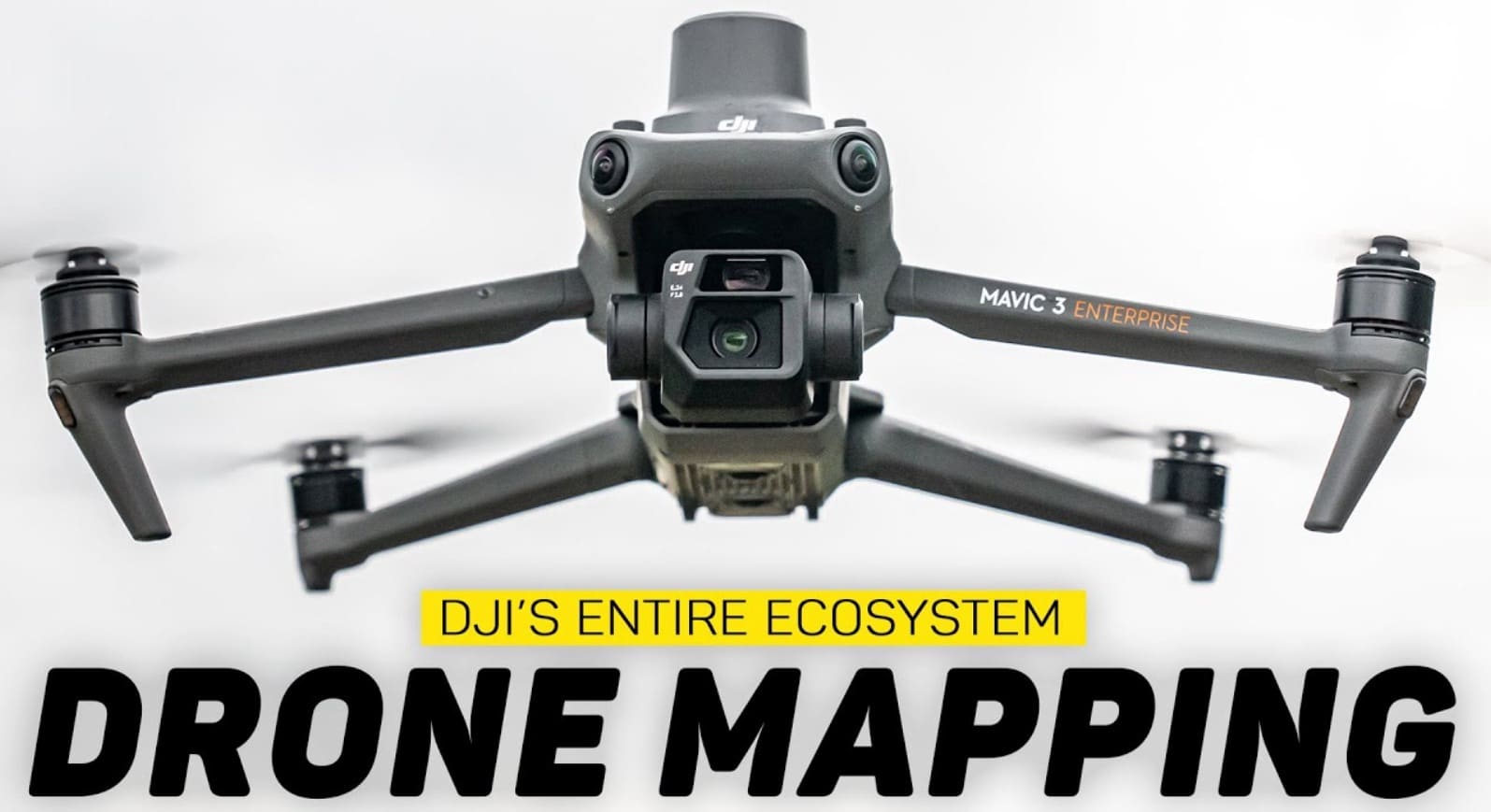
According to a recent YouTube video by Billy Kyle, DJI has streamlined the Drone Mapping process, offering a complete ecosystem for aerial surveying and 3D modeling. This integrated approach simplifies what was once a complex, multi-vendor workflow into a seamless operation.
The Three Pillars of Drone Mapping
Kyle outlines three essential components of drone mapping:
- Mission planning
- Hardware and camera payload for data collection
- Data processing
Historically, these elements often required separate, potentially incompatible solutions. DJI’s system, however, integrates all three aspects.
DJI’s Integrated Workflow
The process begins with mission planning in the DJI Pilot 2 app, utilizes DJI drones like the Mavic 3 Enterprise for data collection, and concludes with DJI Terra software for processing.
Kyle notes, “Because this process is so tightly integrated, it makes moving from step to step very fluid.”
Hardware Options
While the video focuses on the Mavic 3 Enterprise, Kyle mentions two primary options for mapping:
- Mavic 3 Enterprise: Described as “the new go-to option,” it features a 4/3 sensor, 20-megapixel photos, mechanical shutter, and 40+ minute flight time.
- M350: DJI’s top-of-the-line enterprise drone, suitable for workflows requiring higher resolution or better point clouds.
Mission Planning and Execution
Using the DJI Pilot 2 app, users can plan missions in advance or on-site. The app offers customizable parameters such as Ground Sampling Distance (GSD), flight altitude, and speed.
Kyle emphasizes the app’s user-friendly nature: “DJI does a lot of the work for you… as you make these changes within the pilot 2 application and to your flight plan, DJI is already thinking ahead and making other changes in the mission to make sure that your images and your data are captured properly.”
Data Processing with DJI Terra
The final step involves processing collected images using DJI Terra software. Unlike cloud-based solutions, Terra processes data locally on the user’s computer.
Kyle prefers this approach, stating, “Personally, I prefer to have my data handled on my own machine… if I’m out in the field with absolutely no internet connection but I’ve got my razor blade, I can just process a map here directly on my PC.”
Terra offers various reconstruction methods, including 2D maps and 3D models. The software provides tools for measurements, annotations, and volumetric calculations in 3D reconstructions.
DroneXL’s Take
DJI’s integrated mapping solution represents a significant advancement in Drone Technology for surveying and modeling. By streamlining the entire process from planning to processing, DJI has made professional-grade mapping more accessible to a broader range of users. This could potentially accelerate the adoption of drone technology in industries such as construction, agriculture, and urban planning.
The ability to process data locally is particularly noteworthy, as it addresses concerns about Data Security and enables operations in areas with limited internet connectivity. As drone regulations continue to evolve, solutions like DJI’s may play a crucial role in standardizing and simplifying complex mapping operations across various sectors
Discover more from DroneXL
Subscribe to get the latest posts sent to your email.









+ There are no comments
Add yours