


Transforming Agriculture in Burkina Faso
In the Sahel region of Africa, Burkina Faso is witnessing a technological revolution in agriculture and land management, thanks to the innovative use of drones.
The country, grappling with poverty and climate change-related challenges, has more than 40% of its population living below the poverty line. The introduction of Drone Technology is proving to be a game-changer in surveying land for irrigation and agriculture, reports Forbes.
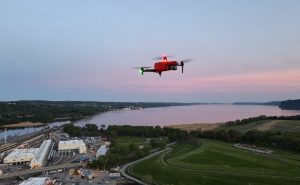
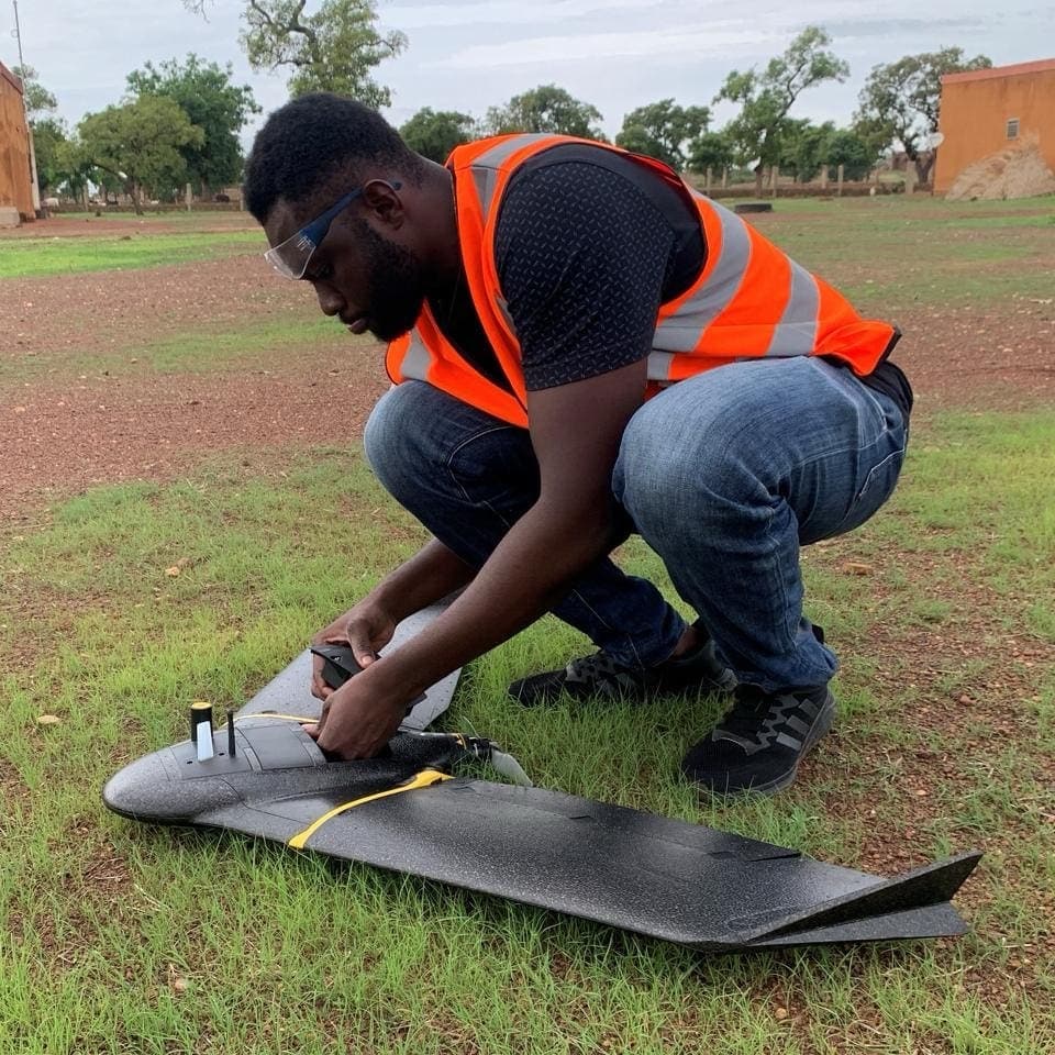
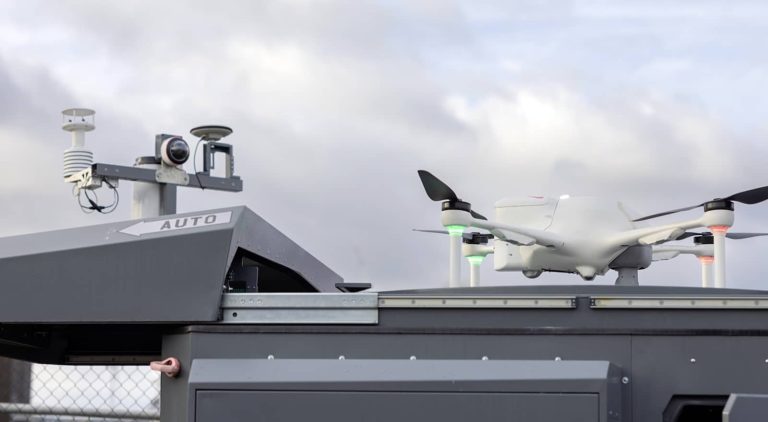
Claudel Guiella, a key figure at Burkina Faso Flying Labs, highlights the significance of water management systems in agriculture for socio-economic development. In 2023, Guiella’s team collaborated with the Projet de Développement Agricole de Soum to deploy drones in a pilot project. These drones, flying at 360 feet, mapped over 1,000 hectares in Soum village with remarkable accuracy and efficiency, benefiting over 5,000 rural households. The results were staggering: an 80% reduction in costs and quicker delivery compared to traditional survey methods.
Guiella emphasizes the superior precision of drone surveys, which generate millions of data points, offering a detailed terrain map crucial for civil engineering projects. This technological leap not only promises cost and time efficiency but also opens up new opportunities, making the sector more appealing, especially to women.
Guiella’s Journey and Vision
Guiella’s personal journey from Ouagadougou to a drone technology enthusiast underscores the transformative potential of this technology in Burkina Faso. His background in computer networks and a passion for drones and AI led him to become a vital part of the Flying Labs Network. Guiella envisions drones as a tool to strengthen community resilience against climate change and security challenges. He notes that while precision agriculture models popular in the West may not suit Burkina Faso’s current agricultural context, local expertise can tailor drone technology to have a significant impact.
Drones Tackling Diseases in the Global South
The use of drones extends beyond agriculture. In Peru, Dr. Gabriel Carrasco-Escobar of the Universidad Peruana Cayetano Heredia utilizes drones and sensors to study climate-related diseases. His work focuses on creating predictive models for diseases like dengue, malaria, and leptospirosis, helping local authorities make informed policy decisions.
Facing challenges in obtaining detailed earth observation data, Carrasco-Escobar’s team has deployed low-cost technologies including drones in the Loreto region. These drones are equipped with advanced imaging and sensor capabilities, aiding in the collection of high-resolution data critical for predicting disease outbreaks. This initiative, part of the HARMONIZE project, is set to integrate this data into a local predictive model for dengue, showcasing a novel approach to combating public health issues.
A New Era of Drone Tech Integration
The integration of drone technology in Burkina Faso and Peru represents a significant stride in addressing critical issues like agriculture development and disease control. These efforts highlight the potential of technology to bring about cost-effective, efficient, and accurate solutions in challenging environments. As these initiatives continue to grow, they pave the way for a new era of technological integration in the Global South, promising a brighter future for communities grappling with the impacts of climate change and health challenges.
Photo courtesy of Burkina Faso Flying Labs.


+ There are no comments
Add yours