
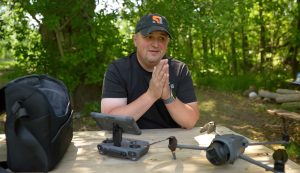


Every year, thousands explore Vancouver’s North Shore Mountains, but over 100 adventurers require rescue after getting lost or injured in the dense coastal rainforest. North Shore Rescue (NSR), Canada‘s busiest volunteer Search and Rescue team, is revolutionizing its operations with drones equipped with thermal imaging and Artificial Intelligence (AI) software. A CBC News report details how this technology, including Canadian-developed AI, is enabling faster, life-saving missions.
Redefining Rescue Operations With Drones
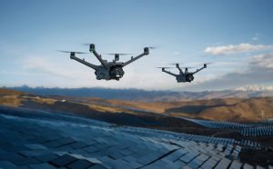
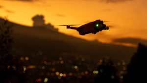
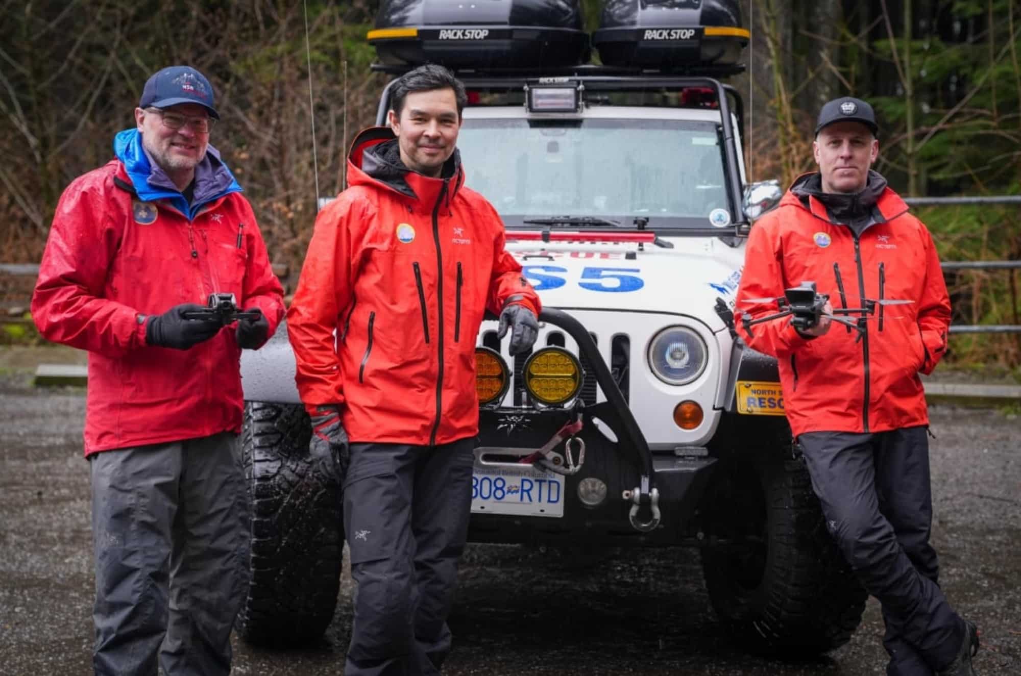
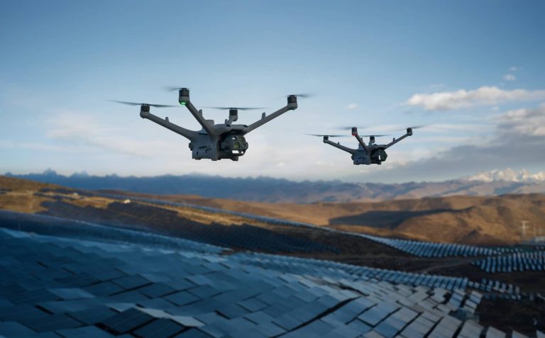
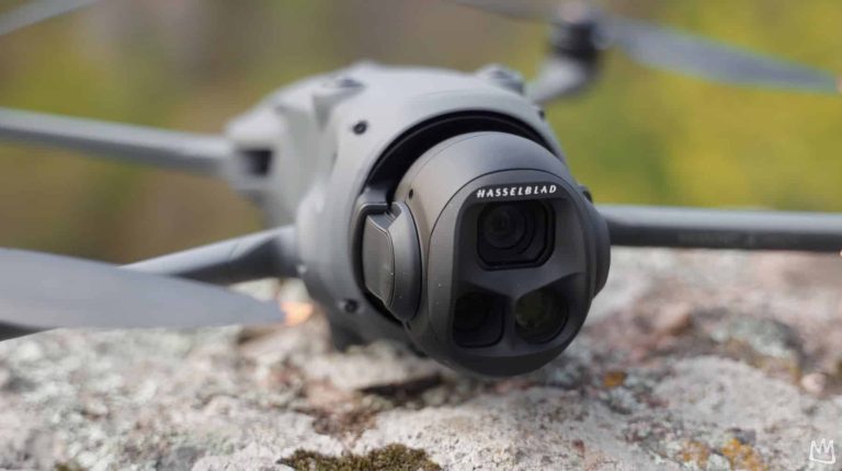
Since 1965, NSR has relied on ground crews, all-terrain vehicles, snowmobiles, and helicopters to navigate the rugged Coast Mountains. Locating individuals in steep gullies or cliffs is daunting, but drones are changing the game. Equipped with thermal imaging cameras, these unmanned aerial systems (UAS) detect heat signatures from 197 to 295 feet (60 to 90 meters) in the air. “Subjects stick out ‘quite bright’ at that altitude,” said Grant Baldwin, NSR’s drone operator. The $40,000 CAD ($28,800 USD) drones, funded by donations, require pilots to hold Transport Canada certification, with eight NSR members trained in the past year.
A Life-Saving Mission
In December 2024, NSR demonstrated the technology’s impact on Mount Seymour, North Vancouver. A hiker, missing after failing to meet friends, was located two kilometers away using a drone’s thermal camera. “He was quite hypothermic. He had fallen in some creeks. If the team hadn’t found him that night, it would be more of a recovery,” Baldwin said. The hiker, huddled under a tree in -6°C (21°F) conditions, was spotted on the drone’s last battery, highlighting its critical role in urgent missions. Without thermal imaging, the rainforest’s dense canopy obscures visibility, but summer heat can mask signatures, necessitating AI advancements.
Eagle Eyes: AI-Driven Precision
Squamish, British Columbia-based Eagle Eyes software enhances drone capabilities with computer vision. Analyzing each pixel in real-time, it detects anomalies like movement or bright clothing, even if subjects are barely visible. “It’s mainly looking at each pixel in the image and measuring how well it fits into the colour distribution,” said creator Peter O’Connor. The software highlights unusual features on the pilot’s screen, excelling when subjects wear distinct clothing. NSR is testing Eagle Eyes for integration, aiming to boost efficiency in complex terrains.
Technical and Industry Insights
Drones are increasingly vital in search and rescue, offering rapid deployment and cost-effectiveness compared to manned aircraft. Thermal imaging and AI-driven detection enable precise data collection in challenging environments. The global SAR drone market is expanding, with systems featuring obstacle avoidance and extended flight times up to 158 minutes. NSR’s investment aligns with these trends, though the $28,800 USD cost underscores funding challenges for volunteer teams.
Regulatory and Operational Realities
Transport Canada mandates certifications like the Advanced Operations license for SAR drone missions, a process Baldwin described as significant. Privacy concerns also emerge, as high-resolution cameras raise questions about data use, necessitating clear protocols to maintain public TRUST. Operationally, drones guide ground crews to precise locations, saving hours, but Baldwin cautioned, “Don’t expect the drone to find you 100% of the time.” In one case, a subject heard a drone but wasn’t spotted, requiring a 13-hour ground rescue.
Market and Societal Impacts
NSR’s adoption of advanced drones signals a scalable model for SAR teams globally, though funding remains a hurdle. The technology also highlights the need for wilderness safety Education, as unprepared adventurers strain NSR’s resources. Public campaigns could reduce calls, preserving capacity for critical rescues.
DroneXL’s Take
NSR’s use of thermal imaging and Eagle Eyes software sets a high standard for SAR, proving that localized AI innovation can save lives. The Mount Seymour rescue underscores the technology’s value, but limitations like thermal interference and regulatory complexity require careful management. Drone professionals should prioritize training and strategic UAS investments, while recreational pilots must respect regulations to avoid disrupting SAR efforts. As drone and AI technologies advance, NSR’s approach could redefine wilderness rescue, provided funding and public education keep pace.
You can read more stories about how drones are used for good on DroneXL.
Photo courtesy of Dillon Hodgin / CBC
Discover more from DroneXL.co
Subscribe to get the latest posts sent to your email.


+ There are no comments
Add yours