


The Federal Communications Commission (FCC) has initiated a proceeding to explore commercial technologies that would complement the Global Positioning System (GPS), acknowledging the technology’s vulnerability to disruption despite its crucial role in America’s economic and national security infrastructure.
FCC Seeks to Address GPS Vulnerabilities
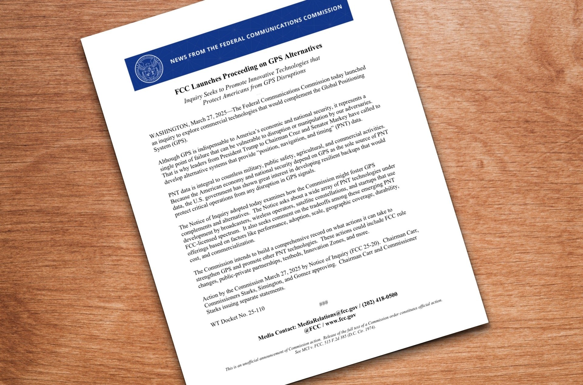
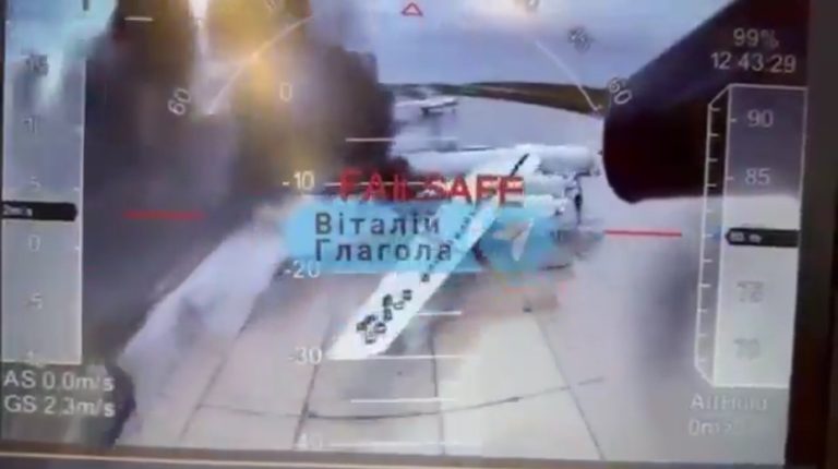
The FCC announced today (March 27, 2025) that it has launched an inquiry to explore commercial technologies that would complement the Global Positioning System. The initiative comes in response to concerns that GPS represents “a single point of failure that can be vulnerable to disruption or manipulation by our adversaries.”
The Notice of Inquiry (FCC 25-20) examines how the Commission might foster GPS complements and alternatives, seeking comments on a range of Position, Navigation, and Timing (PNT) technologies being developed by broadcasters, wireless operators, satellite constellations, and startups using FCC-licensed spectrum. The Commission is also requesting feedback on the tradeoffs among these emerging PNT offerings.
GPS: The Foundation of Modern Drone Technology
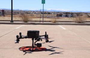
The FCC’s exploration of GPS alternatives comes at a time when the technology has proven invaluable to numerous industries, particularly drone development. Over the past 15 years, GPS has transformed drones from complex machines requiring significant piloting skill to accessible tools for both professionals and consumers.
READ MORE: A SUB-$500 GPS-FREE DRONE BUILT IN LESS THAN 24 HOURS!
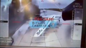
GPS technology revolutionized drone flight by enabling precise position holding, automatic stabilization in wind, return-to-home safety features, waypoint navigation, and altitude locking. These capabilities dramatically simplified drone operation compared to traditional RC aircraft, which require constant manual adjustments to maintain stability.
Before GPS integration, maintaining a steady hover with a drone was extremely challenging. The technology’s ability to provide precise positioning data allows drones to automatically adjust motor speeds to maintain position even in changing conditions, freeing pilots to focus on camera control rather than basic flight mechanics.
Frank Wang’s DJI: Pioneering GPS Integration in Consumer Drones
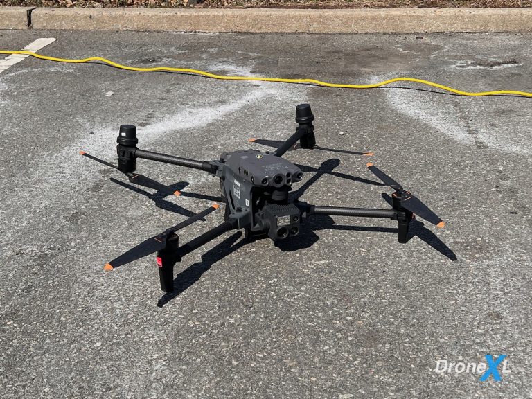
Frank Wang, who founded DJI in 2006 while studying at the Hong Kong University of Science and Technology, played a pivotal role in this transformation. The company’s release of the Phantom drone series in 2013 represented a watershed moment for consumer drones, making them significantly more user-friendly than any other drone on the market at that time.
By integrating GPS technology with intelligent flight controllers, DJI’s innovations dramatically expanded the market beyond traditional RC enthusiasts. The company’s focus on accessibility brought drones from primarily military applications into consumer hands, effectively launching the consumer drone market. By 2020, DJI held nearly 77% of the US market share for consumer drones.

Existing GPS Alternatives in Development
While GPS has been foundational for drone development, several alternatives are already in use or under development globally:
GLONASS, Russia‘s Global Navigation Satellite System, consists of 24 satellites in middle circular orbit and is particularly suited for use in high latitudes where GPS signals can be problematic. It provides real-time position and velocity determination for both military and civilian users.
China‘s BeiDou Navigation Satellite System (BDS) became fully operational in July 2020 and now provides global coverage with 35 satellites in various orbits. BeiDou offers a unique short message communication service, allowing users to send and receive text messages of up to 120 Chinese characters.
Beyond these satellite-based systems, emerging alternatives include Enhanced Long-Range Navigation (eLORAN), a terrestrial beacon system more resistant to jamming than GPS, and SuperGPS, a ground-based alternative using atomic clock time signals distributed via fiber optics that has demonstrated accuracy of 10 centimeters in urban environments.
For drones specifically, sensor-based alternatives are increasingly important, including Inertial Navigation Systems (INS), vision-aided navigation using cameras and computer vision algorithms, and LiDAR-based navigation for creating 3D maps of the environment.
Potential Impact on Drone Operations
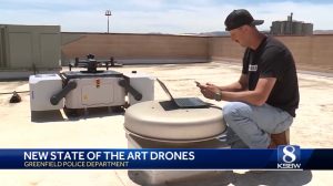
The FCC notes that PNT data “is integral to countless military, public safety, agricultural, and commercial activities.” For the Drone Industry specifically, which has become heavily reliant on GPS technology, the development of robust alternatives could ensure continued operations even in GPS-denied environments.
Scientific Systems has already demonstrated non-GPS, image-based precision navigation software for flight operations ranging from 25,000 feet down to 200 feet. Many of these alternative technologies are being developed to work together, creating layered, resilient navigation systems that can operate effectively in diverse conditions where GPS might be unavailable or unreliable.
The Path Forward
The Commission intends to build a comprehensive record on actions it can take to strengthen GPS and promote other PNT technologies. These actions could include FCC rule changes, public-private partnerships, testbeds, Innovation Zones, and more.
For an industry that has benefited tremendously from GPS technology, the development of complementary and alternative navigation systems represents both a challenge and an opportunity. As drones continue to evolve for applications ranging from delivery services to critical infrastructure inspection, resilient positioning technology will remain essential for their safe and reliable operation.
Discover more from DroneXL.co
Subscribe to get the latest posts sent to your email.


+ There are no comments
Add yours