Modern land management’s getting a major upgrade thanks to Drone Technology that’s transforming how we survey and monitor property. According to a recent analysis, drones are leading the charge in making land management smarter and more efficient than ever before, particularly for real estate development, urban planning, and environmental protection.
Game-Changing Aerial Data Collection
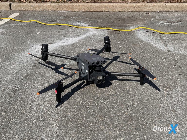
UAVs have completely changed the land surveying game. These flying data collectors are grabbing high-res images and videos that help with everything from city planning to farming. What’s really cool is how they’re getting into places that’d be super risky for traditional surveyors.
“Drones are particularly useful in remote or hazardous areas where traditional land surveying would be challenging or dangerous,” Wallace points out.
And he’s right – these machines aren’t just cool tech, they’re actually making the work safer.
Speed and Precision: A Major Upgrade
Here’s what’s really impressive – drones are cutting down survey times from weeks to hours. They’re using GPS and advanced mapping tech to collect data that’s way more accurate than old-school methods. For real estate developers, this means they can check out potential building sites without even setting foot on the property.
Smart Agriculture Applications
In farming, drones are proving to be game-changers. They’re helping farmers monitor crop health, spot irrigation issues, and make better decisions about resource allocation. This precision agriculture approach is making farming more efficient and sustainable than ever before. The real-time data lets farmers respond quickly to problems and optimize their resource use.
Urban Planning and Development
City planners are revolutionizing urban development through drone technology. The aerial perspective gives them unprecedented insights into infrastructure needs and development patterns. They’re using this data to make better decisions about everything from new construction to traffic flow management. The drone’s eye view helps them spot potential issues before they become problems and track progress on ongoing projects.
Environmental Monitoring
Environmental agencies have embraced drone technology for monitoring critical ecological systems. They’re using UAVs to track deforestation, observe Wildlife habitats, and assess natural disaster impacts in ways that were never before possible. These aerial surveys provide crucial data about environmental changes and help agencies respond more effectively to threats to natural resources.
Integration with Advanced Technologies
The combination of drone data with Geographic Information Systems (GIS) and big data analytics is creating powerful new tools for land management. Real-time data analysis and predictive modeling are now possible at scales that were previously unimaginable. This integration is enabling more informed decision-making and better resource management across all aspects of land use.
Challenges and Future Developments
The drone revolution in land management faces some interesting challenges. Regulatory compliance and weather limitations can impact operations, while battery life and data processing needs present technical hurdles. Yet the industry continues to innovate, finding new solutions and applications that push the boundaries of what’s possible.
DroneXL’s Take
The use of drones in land management perfectly aligns with what we’re seeing in the broader drone inspection industry. The precision and efficiency these UAVs bring to land surveying isn’t just cool tech – it’s reshaping how we understand and manage our environment. Looking at recent developments in LiDAR technology, we’re seeing even more potential for enhanced mapping and modeling capabilities. This kind of application really shows why drones are becoming essential tools across industries.
Have you seen drones in action for land management? Share your experiences in the comments below.
Discover more from DroneXL.co
Subscribe to get the latest posts sent to your email.








+ There are no comments
Add yours