


In a groundbreaking move for the drone delivery industry, Wing and Flytrex have teamed up to share an automated air traffic and collision avoidance system in Dallas, paving the way for safer and more scalable unmanned aerial vehicle (UAV) operations. This collaboration could set the stage for a national air traffic framework, transforming how drone deliveries operate across the U.S.
A Unified Approach to Airspace Management
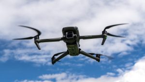
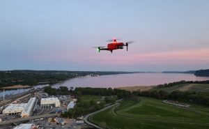
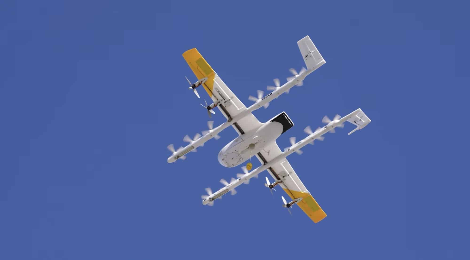
Wing, owned by Alphabet, and Flytrex, an Israel-based startup with a growing U.S. presence, are using a shared Unmanned Traffic Management (UTM) platform to coordinate their drone fleets.
This system allows both companies to exchange real-time flight plans and navigation data, ensuring their drones operate in the same Dallas airspace without collisions.

The technology automatically adjusts flight paths to prevent drones from occupying the same air corridors at the same altitudes simultaneously, addressing a critical safety challenge as drone deliveries scale.
The partnership marks a rare instance of business rivals collaborating to advance an entire sector.
“Unmanned traffic management is the backbone of a scalable drone-delivery ecosystem,” said Yariv Bash, CEO and co-founder of Flytrex. “It allows multiple operators to fly safely and efficiently, even in densely populated areas, by mitigating drone-to-Drone Collision risks.”
Flytrex, which has completed 200,000 deliveries, and Wing, with 450,000 deliveries to its name, are leveraging their combined expertise to pioneer this new standard.
Scaling Drone Deliveries: Economic and Operational Impacts
The drone delivery market is poised for significant growth, with PwC reportedly estimating that the global business-to-consumer drone delivery sector could see 808 million aerial drop-offs daily by 2034, up from roughly 5 million last year.
This expansion could generate an anticipated $65 billion in economic activity. However, scaling to this level requires safe, accident-free operations, which the Flytrex-Wing UTM system aims to ensure.
Operationally, the shared platform enables drones to deliver goods like food, drinks, and health care supplies faster and more efficiently than ground transport.
For businesses, this means quicker service to customers—potentially reducing delivery times from hours to minutes—while cutting costs and emissions compared to traditional road vehicles.
For example, a drone flying at a typical speed of 65 miles per hour can cover a 5-mile delivery radius in under 5 minutes, a feat that might take a car 15 minutes or more in urban traffic.
Regulatory Hurdles and the Path to National Adoption
A key barrier to scaling drone deliveries is regulatory approval from the Federal Aviation Administration (FAA). The FAA currently requires operators to maintain beyond visual line of sight (BVLOS) capabilities, often through a human observer monitoring the UAV.
The Flytrex-Wing UTM system could streamline this process by providing a reliable, automated solution that satisfies FAA safety standards, potentially removing the need for on-the-ground observers. This would expand the range drones can fly—often limited to a few miles—and allow companies to serve more markets.
Wing vice president Margaret Nagle emphasized the broader vision: “By leveraging the benefits of global standards, we will increasingly see multiple drone services sharing the same, overlapping airspace and operating at scale,” she said in a press release. “This is yet another milestone for…leveraging core principles of U.S. aviation and innovation.”
What’s Next for Drone Delivery?
The Flytrex-Wing partnership in Dallas could become the foundation for a nationwide UTM system, enabling drone delivery companies to scale safely and efficiently. As the technology meets U.S. and global standards, it may unlock faster, cleaner, and more affordable delivery options for retailers, restaurants, and health care providers, offering a sustainable alternative to ground transport.
With the FAA’s approval, this innovation could redefine logistics, making drone deliveries a common sight in skies across the country.
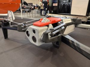
Photos courtesy of Wing.
Discover more from DroneXL.co
Subscribe to get the latest posts sent to your email.


+ There are no comments
Add yours