


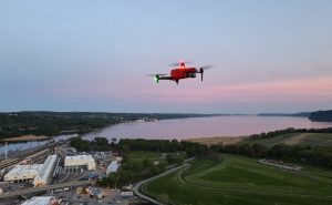
A groundbreaking UAV platform leveraging Visual Simultaneous Localization and Mapping (VSLAM) enables drones to navigate autonomously in GPS-denied environments, such as urban canyons or dense forests, with unprecedented precision, reports Hackster.io. By integrating Isaac ROS VSLAM, this system empowers drones for critical missions like Search and Rescue or industrial inspections where GPS signals falter.
Technology Breakthrough
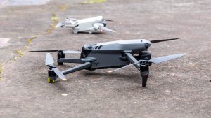
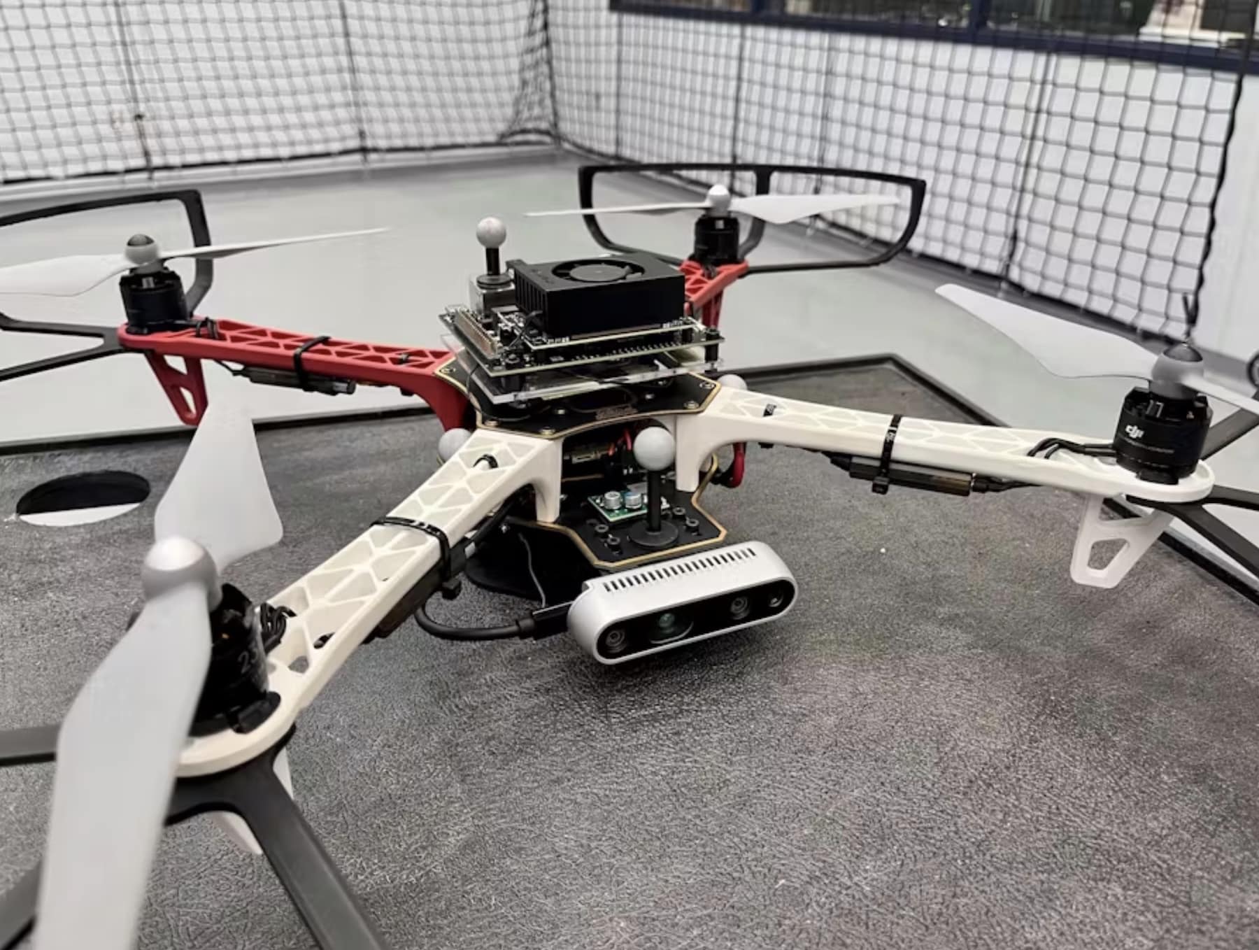
The platform, built on an F450 quadcopter, combines a NVIDIA Jetson Orin Nano, Intel D435i camera, and PX4 flight controller (v1.15.4). The Jetson Orin Nano’s edge computing processes visual-inertial odometry (VIO) data from the D435i’s depth and IMU sensors, fused via an Extended Kalman Filter (EKF) for real-time localization. “This implementation demonstrates the feasibility of deploying real-time VSLAM on resource-constrained platforms,” notes the project’s documentation, highlighting its ability to dynamically map unknown environments without GPS.
Key specifications:
- Flight Controller: PX4 v1.15.4
- Camera: Intel D435i (RealSense firmware 5.13.0.50)
- Companion Computer: Jetson Orin Nano (JetPack 6.2)
- Power: 7-20V supply, max 36W
- Storage: NVMe SSD for container images and rosbag files
The system uses MAVROS and the PX4 flight stack, with communication via a USB-to-UART adapter to ensure stable data transfer between the flight controller’s TELEM2 port and the Jetson.

Operational Advantages
This VSLAM UAV excels in scenarios where GPS is unreliable, maintaining situational awareness over distances up to 328 feet (100 meters) in complex environments. Its ability to execute precise flight patterns—square, circle, or figure-8—enhances applications like reconnaissance or infrastructure monitoring. The platform’s lightweight design, under 5.5 pounds (2.5 kg), ensures agility while carrying the 36W Jetson Orin Nano and a 9V, 5A voltage regulator.
Setup requires calibrating the D435i’s IMU and configuring PX4 parameters like EKF2_HGT_REF to “Vision” and EKF2_GPS_CTRL to 0, enabling vision-based pose estimation. A demo video validates performance, showing the drone relying solely on VIO and IMU data, with motion capture cameras used only for ground truth.

Industry Implications
The platform’s affordability—using a $499 Jetson Orin Nano Developer Kit—makes advanced autonomy accessible to smaller operators, potentially reducing costs for missions in GPS-denied settings. Regulatory bodies like the FAA may view such systems favorably for beyond-visual-line-of-sight (BVLOS) operations, given their enhanced situational awareness, though certifications will require rigorous testing.
As industries like logistics and agriculture adopt drones, VSLAM technology could redefine operational standards, enabling safer navigation in cluttered environments. The open-source nature of the VSLAM-UAV repository invites further innovation, fostering collaboration among developers to refine edge-based autonomy.
Future Outlook
This project underscores VSLAM’s potential to expand drone capabilities, with implications for military, commercial, and humanitarian applications. As edge computing advances, future iterations could integrate higher-resolution cameras or 5G connectivity for real-time data streaming, further enhancing performance in challenging environments.
Discover more from DroneXL.co
Subscribe to get the latest posts sent to your email.


+ There are no comments
Add yours