


In a striking demonstration of Drone Technology‘s life-saving potential, the Franklin County Sheriff’s Office successfully located an injured woman after a crash in Darbydale, Ohio, early Sunday morning, reports WBNS 10TV. The deployment of a drone equipped with thermal imaging capabilities enabled deputies to find the victim, who had fallen 15 feet down an embankment and was unable to free herself, according to details provided by the Franklin County Sheriff’s Office. This incident underscores the growing importance of unmanned aerial systems in emergency response operations.
The Incident Unfolds
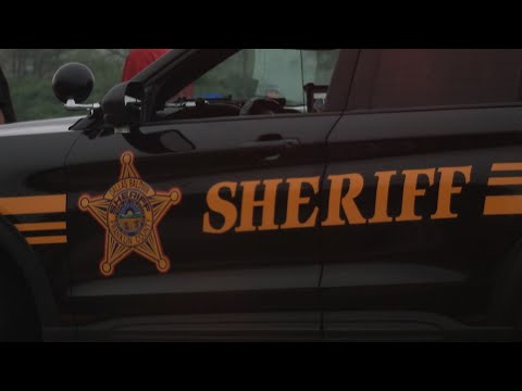
The sequence of events began when patrol units responded to a crash report at the intersection of Norton Road and State Route 665 in southwest Franklin County. Deputies arrived to find an unoccupied vehicle with visible blood inside, raising immediate concerns about the driver’s whereabouts. A local resident soon provided a critical lead, reporting that a young woman had knocked on his door seeking help before fleeing south toward the Oak Hills trailer park. Despite an extensive ground search, deputies could not locate her by 3:10 a.m., prompting the activation of the sheriff’s drone unit.
Technical Precision in Action
The drone, deployed near Osprey Lake in Galloway, utilized thermal imaging to detect a heat signature that led responders to the missing woman. She was found approximately 15 feet down an embankment, a distance that likely obscured her from traditional search methods, especially in the pre-dawn hours. The sheriff’s office reported that the victim had suffered multiple broken bones and frostbite, injuries compounded by her inability to extricate herself from the steep terrain. She was promptly transported to Mount Carmel Grove City hospital, where her condition stabilized.
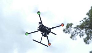
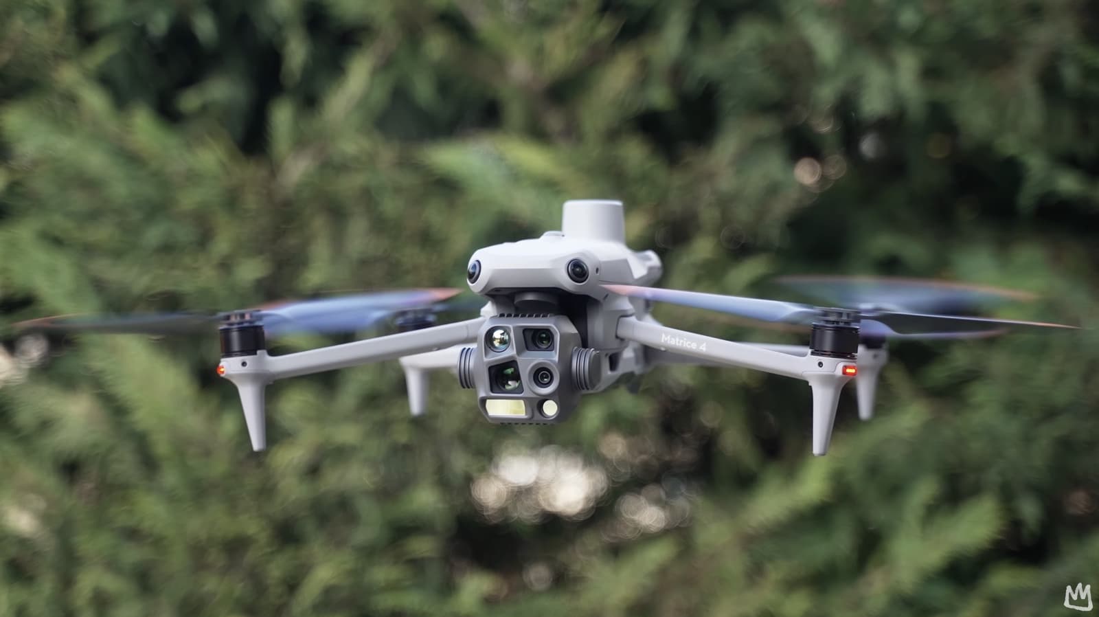
This rescue highlights the technical advantages of drones in first-responder scenarios. Thermal imaging, a staple in systems like those found on the DJI Matrice 4T, allows operators to detect heat signatures in low-visibility conditions—capabilities that proved decisive in this case. The drone’s ability to cover challenging terrain quickly and efficiently bridges a gap that ground-based searches often struggle to overcome.
Industry Context and Growing Adoption
The use of drones by law enforcement and emergency services is not a novel concept, but its application continues to expand as technology improves and costs decline. Agencies across the United States, supported by frameworks like the FAA’s Part 107 regulations, are increasingly integrating unmanned systems into their operations. From search-and-rescue missions to disaster response, drones equipped with advanced sensors are becoming indispensable tools for first responders.
Franklin County’s success mirrors broader trends in the drone industry. Manufacturers like DJI, Autel Robotics, Paladin, Brinc Drones and Skydio have developed platforms specifically tailored for public safety, incorporating features such as modular payloads, extended flight times, and robust data transmission. These advancements enable real-time situational awareness, a factor that likely accelerated the response time in Darbydale.
Market and Regulatory Implications
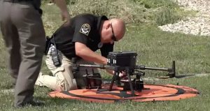
The incident also raises questions about the scalability of drone programs in smaller jurisdictions. While major metropolitan areas have long embraced such technology, rural and suburban agencies like Franklin County’s Sheriff’s Office demonstrate that even modest budgets can yield significant returns with strategic investments. The cost of a capable public safety drone—typically ranging from $5,000 to $20,000 depending on specifications—pales in comparison to the potential costs of prolonged search operations or, worse, a lost life.
Regulatory considerations remain a key factor in this adoption curve. Operating drones near populated areas or in adverse weather requires compliance with beyond visual line of sight (BVLOS) protocols and weather-related restrictions. The FAA continues to refine these rules, balancing safety with the need for operational flexibility—a process that will shape how widely such rescues can be replicated.
The Darbydale rescue serves as a compelling case study in the practical application of drone technology. By swiftly locating a crash victim in challenging conditions, the Franklin County Sheriff’s Office not only saved a life but also showcased the transformative potential of aerial systems in emergency response. As drone capabilities evolve and regulatory frameworks adapt, such incidents may become the norm rather than the exception.
Looking ahead, the integration of Artificial Intelligence and enhanced sensors could further amplify these outcomes, potentially reducing response times and improving accuracy. For now, this event reinforces a clear message: drones are no longer just tools for hobbyists or corporations—they are vital assets in the hands of those tasked with public safety. DroneXL’s take? Expect more agencies to follow Franklin County’s lead, as the technology proves its worth one rescue at a time.
Photo courtesy of Drone Supremacy
Discover more from DroneXL.co
Subscribe to get the latest posts sent to your email.


+ There are no comments
Add yours