
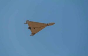
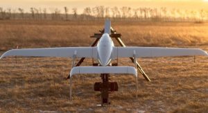


NV5, a leader in tech-enabled engineering solutions, has landed a two-year, $10 million contract with the North Carolina Department of Transportation (NCDOT) to deliver advanced drone-based geospatial services, enhancing infrastructure planning statewide. This deal leverages unmanned aerial systems (UAS) to improve accuracy and efficiency in transportation projects, signaling a growing role for drones in public infrastructure.
Advanced Drone Technology in Action
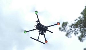
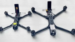
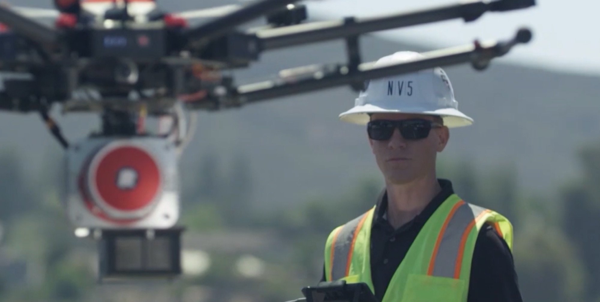
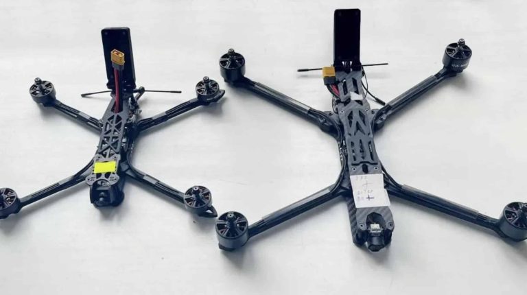
The contract tasks NV5 with deploying UAS for aerial image collection, mapping, and LiDAR processing. Drones will capture high-resolution imagery and elevation data, while terrestrial and mobile laser scanning will complement aerial efforts. These tools enable precise 3D modeling of terrain and infrastructure, critical for designing roads and bridges. NV5’s dedicated UAS operators ensure consistent data quality, addressing challenges like varying weather or terrain complexity. “NV5’s focus on essential infrastructure services and advanced data solutions positions us to support large-scale projects that remain critical regardless of economic conditions,” said Ben Heraud, CEO of NV5.
Benefits for Infrastructure and Drone Operators
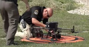
This project enhances NCDOT’s ability to plan transportation networks with pinpoint accuracy, reducing costly errors. For example, aerial lidar can map elevations to within inches, compared to traditional surveys that may take weeks. Drone operations also cut fieldwork time, lowering costs and boosting safety by minimizing on-site personnel. For drone professionals, the contract highlights the demand for skilled UAS pilots and data analysts. NV5’s role in managing UAS operations underscores the need for standardized training and certification, aligning with FAA regulations for commercial drone use.
Industry Trends and Economic Impact
The $10 million deal reflects a broader trend: state agencies increasingly rely on drones for infrastructure. Drones reduce project timelines—often by 30–50% compared to ground-based methods—while delivering richer datasets. This contract, valued at $10 million USD, could spur job creation in North Carolina’s geospatial sector, from pilots to data processors. “This award reflects our decades-long partnership with NCDOT and reinforces our commitment to supporting reliable, efficient, and forward-looking infrastructure across North Carolina,” said Ryan Lyttle, Vice President of Survey at NV5. However, economic uncertainties or regulatory shifts, such as tighter FAA rules, could challenge scalability.
Operational and Regulatory Implications
Operationally, NV5’s work will streamline NCDOT’s project pipeline, from route surveys to subsurface utility mapping. Drones enable rapid data collection over vast areas—some spanning hundreds of miles—compared to traditional methods. Yet, regulatory hurdles persist. UAS operations must comply with FAA Part 107 rules, requiring licensed pilots and airspace approvals. NV5’s expertise in managing these logistics positions it as a model for other firms. Looking ahead, integrating drones into urban airspace or beyond-visual-line-of-sight (BVLOS) operations could further revolutionize infrastructure planning, pending regulatory advancements.
This contract marks a milestone for drone applications in public works, blending cutting-edge UAS technology with practical infrastructure needs. As NV5 rolls out its services across North Carolina, the project could set a blueprint for other states, driving innovation and efficiency in transportation planning.
Photos courtesy of NV5
Discover more from DroneXL.co
Subscribe to get the latest posts sent to your email.


+ There are no comments
Add yours