


Montgomery County, New York, has passed a new local law banning drones from flying over county buildings, citing safety and security concerns after a drone was spotted near the county jail. Reported by NEWS10, the measure imposes strict penalties, including fines up to $1,000 or jail time. However, this regulation runs headlong into a critical Legal reality: the Federal Aviation Administration (FAA) holds sole authority over U.S. airspace, a fact reinforced years ago that preempts such local rules.
Background and County Motivation
Montgomery County officials acted after Sheriff Jeff Smith’s team observed a drone near the county jail during routine perimeter checks. The sighting sparked concerns about potential risks to staff and incarcerated individuals. County Executive Pete Vroman hailed the law—dubbed Local Law “C”—as a proactive step, especially given heightened public attention on drones over the past six months. The legislation prohibits drone flights above government buildings, radio towers, courthouses, and the jail, extending restrictions to the airspace within these properties’ boundaries.
Sheriff Smith emphasized the safety angle, noting that while drones remain popular for recreation and commercial use, their presence over sensitive sites poses unacceptable risks. The county’s move reflects a broader trend of local governments grappling with drone proliferation as the technology becomes more accessible.
Technical Context: Shifting Drone Restrictions
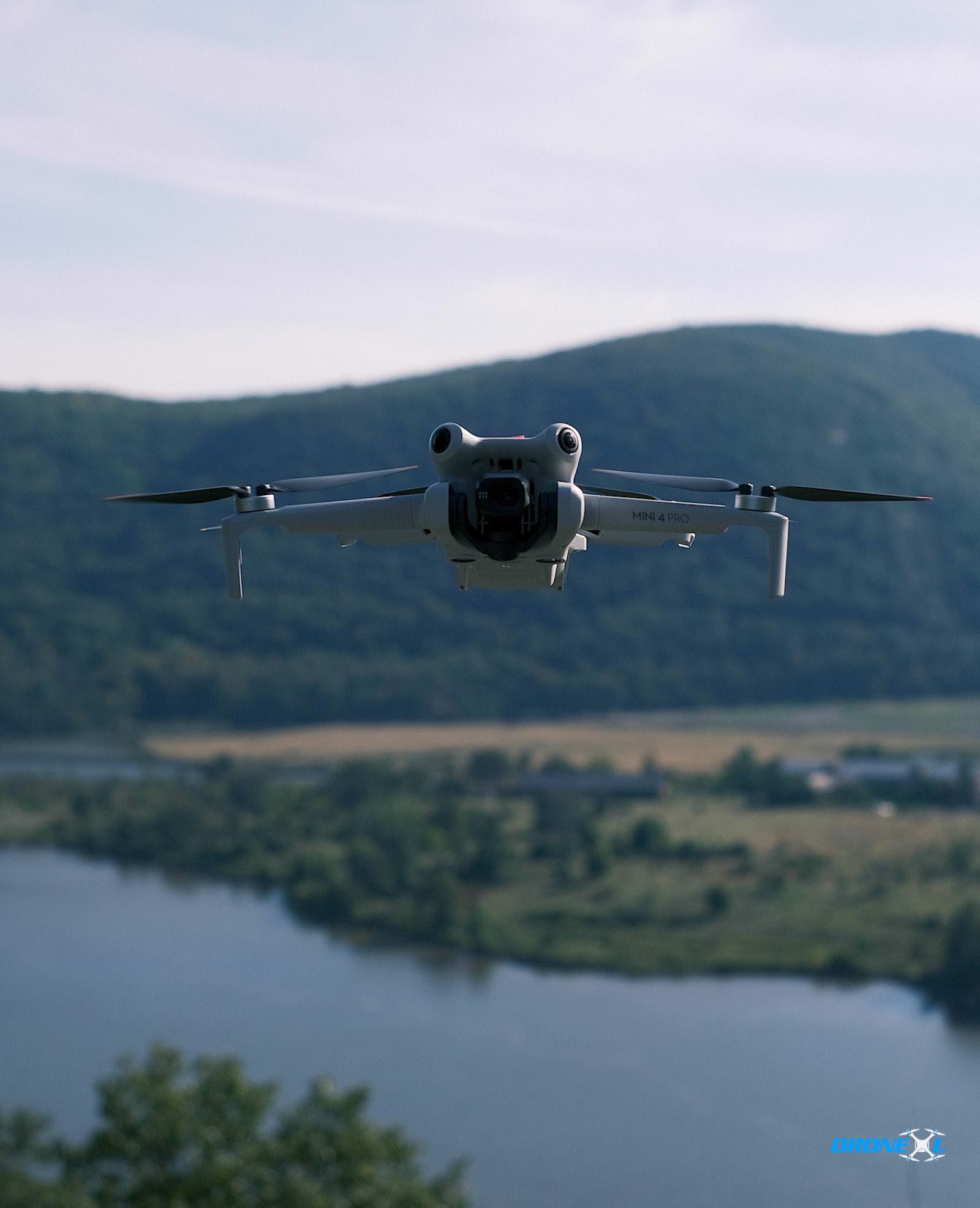
The county’s concerns tie into recent changes in drone operation standards. Previously, DJI, the world’s leading drone manufacturer, employed geofencing—software that physically prevented drones from entering restricted zones. Sheriff Smith recounted tests where drones halted mid-flight near sensitive areas, a feature that reassured officials. However, DJI has since shifted reliance to FAA airspace data, which primarily governs areas above 400 feet. This leaves lower altitudes—where most hobbyist and small commercial drones operate—less regulated by default, prompting Montgomery County to step in.
Drones typically fly below 400 feet under FAA rules, with a maximum allowable altitude of 400 feet above ground level for recreational users. Montgomery County’s law aims to fill this perceived gap, but its scope clashes with federal oversight.
Penalties and Enforcement
Violating the new law carries stiff consequences: a Class A Misdemeanor charge, punishable by up to one year in jail or a $1,000 fine. Sheriff Smith clarified the intent isn’t to stifle drone use broadly—residents can still enjoy the technology elsewhere—but to secure county-controlled spaces. “It’s just limiting above county structures. That’s all,” he said.
Federal Preemption: The FAA’s Exclusive Authority
While Montgomery County’s intentions may stem from legitimate safety worries, the law faces a formidable obstacle: federal preemption. The FAA firmly reasserted its role as the sole authority over U.S. airspace, a stance solidified through policy statements and legal precedents. The agency’s jurisdiction, rooted in the Federal Aviation Act of 1958 and subsequent regulations, governs everything from drone altitude limits to no-fly zones. This was notably reinforced when the FAA clarified that state and local governments cannot impose their own airspace restrictions, as reported by DroneXL in prior coverage of similar disputes.
Legal experts have consistently upheld that local drone laws infringing on airspace control are preempted. Montgomery County’s blanket ban over its buildings, while limited in geographic scope, directly regulates flight paths—an area squarely under FAA purview. The FAA’s Small UAS Rule (Part 107) and recreational drone guidelines further cement this hierarchy, allowing local input on land-use issues but not airspace governance.
Industry and Market Implications
The county’s move highlights a growing tension between local authorities and federal regulators as drone use surges. Hobbyist drones, often priced below $500, and professional models from brands like DJI dominate this space, amplifying concerns over misuse. Montgomery County’s law could inspire similar efforts elsewhere, potentially fragmenting drone regulations if not checked by federal oversight.
However, industry stakeholders argue such patchwork rules complicate compliance for operators. Companies like DJI already integrate FAA airspace data into their software, suggesting a centralized approach remains viable.
Regulatory Considerations
Montgomery County’s law also sidesteps practical enforcement challenges. Detecting and identifying rogue drones requires sophisticated equipment—radar, radio frequency scanners, or even counter-drone systems—none of which the county has publicly detailed. Without FAA coordination, proving a violation in court could falter, especially if operators claim compliance with federal rules. The FAA’s Remote ID mandate, fully implemented by 2023, already requires drones to broadcast identification data, offering a federal tool counties could leverage instead.
Montgomery County’s drone restriction reflects a well-meaning but legally tenuous response to emerging technology. While safety concerns near jails and government buildings are valid, the FAA’s exclusive authority over U.S. airspace renders this local law vulnerable to challenge. Future drone regulation will likely demand tighter collaboration between federal and local levels, balancing security with innovation. For now, operators in Montgomery County face a confusing dual framework, but federal law remains the ultimate arbiter.
DroneXL’s Take
This case underscores a persistent disconnect in drone governance. Local leaders see immediate risks and act, yet lack the jurisdiction to enforce airspace rules effectively. The FAA’s centralized model, while robust, must adapt to address low-altitude concerns that fuel laws like Montgomery’s. Until then, expect more preempted efforts—and more headaches for drone pilots navigating the skies.
Discover more from DroneXL.co
Subscribe to get the latest posts sent to your email.


+ There are no comments
Add yours