


Pioneering Drone Technology Reshapes Railroad Mapping
In a groundbreaking collaboration, Warren Community College and NJ TRANSIT have redefined the boundaries of technology and infrastructure development. Utilizing cutting-edge drones equipped with LiDAR (Light Detection and Ranging) technology, this partnership has successfully mapped the century-old Roseville Tunnel in Byram Township.
This project not only marks a significant advancement in mapping technology but also paves the way for the revival and expansion of an historic rail line, report Unmanned Systems Technology.
The Challenge: Reviving a Historic Railway
The project’s primary goal was to create a detailed visual record of the Roseville Tunnel before its transformative reconstruction. The task was daunting due to the tunnel’s age and unique structural characteristics. The collaboration emerged from the successful partnership on a previous project involving mapping the roof of Newark’s Penn Station using precision technology.
Breakthrough in Drone Mapping
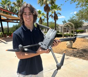
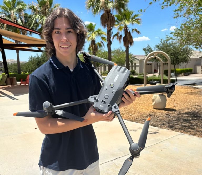
The Warren Community College team, comprising staff and students, deployed the Elios 3 unmanned system, a specialized drone from Flyability, to navigate and map the tunnel’s interior. This technology produced a highly accurate 3D model, capturing intricate details of the tunnel’s architecture. The LiDAR scanner’s ability to generate millions of data points in 3D space was crucial in rendering this detailed reproduction.

Academic and Technical Synergy
This project not only showcased advanced Drone Technology but also highlighted the seamless integration of academic expertise and real-world application. NJ TRANSIT’s connection with Warren College began through a mutual vendor, leading to a collaboration benefiting both entities. Students gained invaluable hands-on experience, contributing significantly to the project’s success and applying their knowledge in a practical, impactful manner.
Impact and Future Applications
The successful mapping of the Roseville Tunnel sets the stage for future comparisons and assessments, enabling a deeper understanding of the tunnel’s structural integrity over time. This project illustrates a significant shift in precision mapping, where costly and risky traditional methods are replaced by efficient, safe, and accurate drone technology.

Forging Ahead with Innovative Partnerships
The partnership between Warren Community College and NJ TRANSIT exemplifies the power of collaboration in harnessing technology for infrastructural advancements. As both organizations continue to explore new projects, the future looks promising for more innovative applications of drone technology in various fields. This initiative not only signifies a technological breakthrough but also underscores the importance of academic and industry partnerships in driving progress and practical learning.
Photos courtesy of Warren Community College and NJ TRANSIT.


+ There are no comments
Add yours